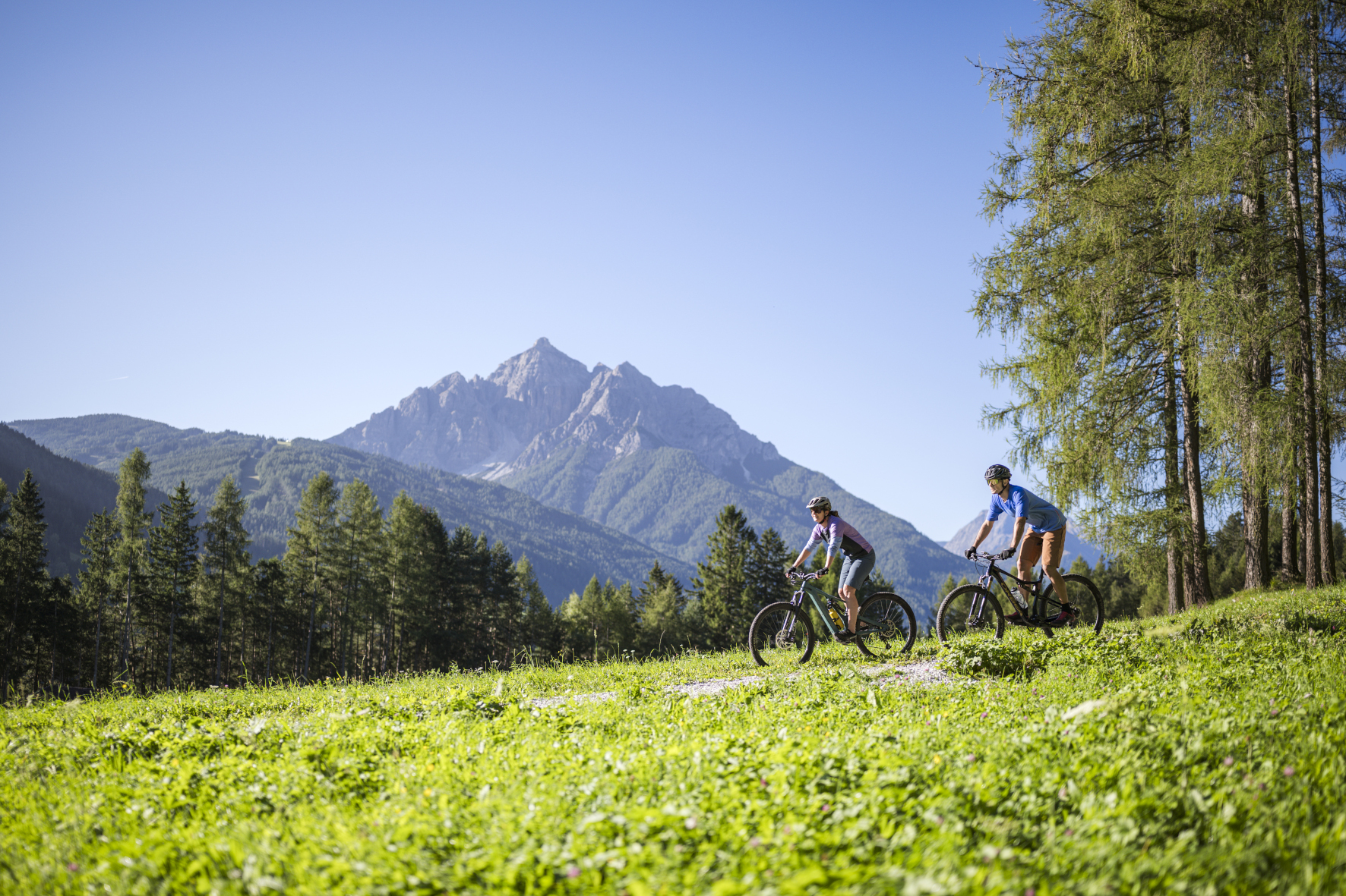
Bike tour · Stubaital
Bike Trail Tyrol – Matrei to Maria Waldrast
Starting point: Matrei am Brenner
13.4
km
721
Hm ↑
2.5 h
Walking time
The stage of the Bike Trail Tyrol from Matrei am Brenner to Maria Waldrast is a special piece of Tyrolean cycling culture: it combines athleticism with spirituality. Maria Waldrast is one of the most important pilgrimage destinations in North Tyrol, a monastery at 1,638 meters above sea level, which has been attracting pilgrims from all over the region for centuries. The fact that this unique destination can be reached by mountain bike makes this tour something special.
Why this tour?
The Bike Trail Tyrol is an officially designated long-distance bike trail that runs through all of Tyrol. The stage from Matrei am Brenner is one of the most scenic parts of the Stubaier Umland – quiet forest paths, views of the Wipptal and Unterinntal, and as a reward, a monastery town with an inn that has been serving hikers and bikers for generations.
Matrei am Brenner is conveniently located on the Brenner Railway and Highway. Arriving by train is no problem – carrying bicycles in regional trains requires purchasing a separate bicycle ticket.
Route Description
Start Matrei am Brenner (ca. 970 m): From the railway station or town center, follow the Bike Trail Tyrol signs westwards. The route leaves the town on quiet municipal roads and soon switches to gravel paths.
Waldpassage Wipptal-Südhang (ca. km 1–5): The way climbs steadily through coniferous forests. Beautiful, even ramps without extreme peaks. Opportunity to find the tempo and get into rhythm.
Offener Mittelhang (ca. km 5–9): The forest opens up. Clear areas give a view of the Wipptal, the Brenner Pass to the south, and the mountains behind it. This section is the most photogenic part of the entire stage.
Ascent to Maria Waldrast (ca. km 9–13.4): The last kilometers to the pilgrimage church are the steepest. The path leads through a dense mountain forest and ends at the monastery courtyard of Maria Waldrast. The arrival here – after a good climb, with a view of the old monastery building – has something special.
Destination: Maria Waldrast (1,638 m): The pilgrimage monastery is operated. The attached inn offers food and drink, and the panorama terrace invites to a leisurely stay.
Rest stops
| Location | Location | Remark |
|---|---|---|
| Inns in Matrei | Start | Breakfast and snacks |
| Klostergasthof Maria Waldrast | Destination, km 13.4 | Traditional cuisine, panorama terrace |
Requirements
- Condition: Medium – 721 meters of elevation gain on approximately 13 kilometers are manageable for regularly trained bikers
- Technique: Forest path without special obstacles; a short section with loose gravel
- Bicycle: Mountain bike or e-bike; trekking bike possible
- Return: Either back on the same route or further on the Bike Trail Tyrol (next stage)
Practical Tips
- Arrival by train: Matrei am Brenner is located on the Brenner Railway – no car necessary
- Pilgrimage time: In the summer, many people walk to Maria Waldrast – respectful treatment of pedestrians on the path
- Dogs: Allowed; in the monastery courtyard on a leash
- Combination with Stubai: Possible as a day trip from the Stubai Valley – Matrei is only 15 minutes by car from Neustift
This tour is more than just sports – it’s a small journey with history, panorama, and a destination that you will remember.
Route map
Frequently asked questions about Bike Trail Tyrol – Matrei to Maria Waldrast
- How difficult is Bike Trail Tyrol – Matrei to Maria Waldrast?
- Bike Trail Tyrol – Matrei to Maria Waldrast is rated "Moderate". The route has 721 metres of elevation gain.
- How long is Bike Trail Tyrol – Matrei to Maria Waldrast?
- 13.4 km. Hiking time: approx. 2.5 hours.
- Are dogs allowed on Bike Trail Tyrol – Matrei to Maria Waldrast?
- Dogs are not allowed or not recommended on this trail.
Questions about this route?
The AI Guide knows all details about this trail