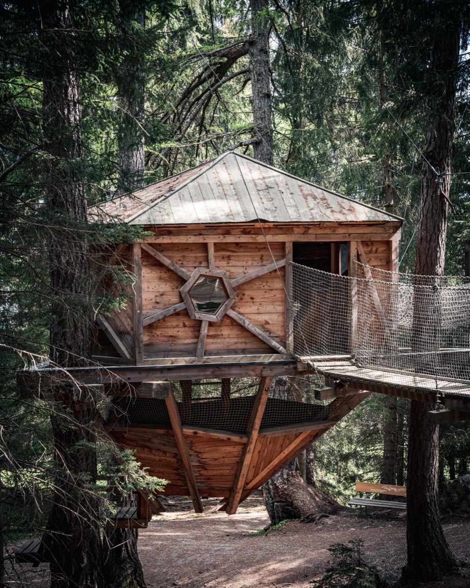
Stubaier Baumhausweg
EasyThe Stubaier Baumhausweg is the perfect family outing: 6 km from the Froneben/Schlick 2000 mid-station to the Alpengasthof Vergör, with treehouses to discover, climb and marvel at – ideal for little adventurers.
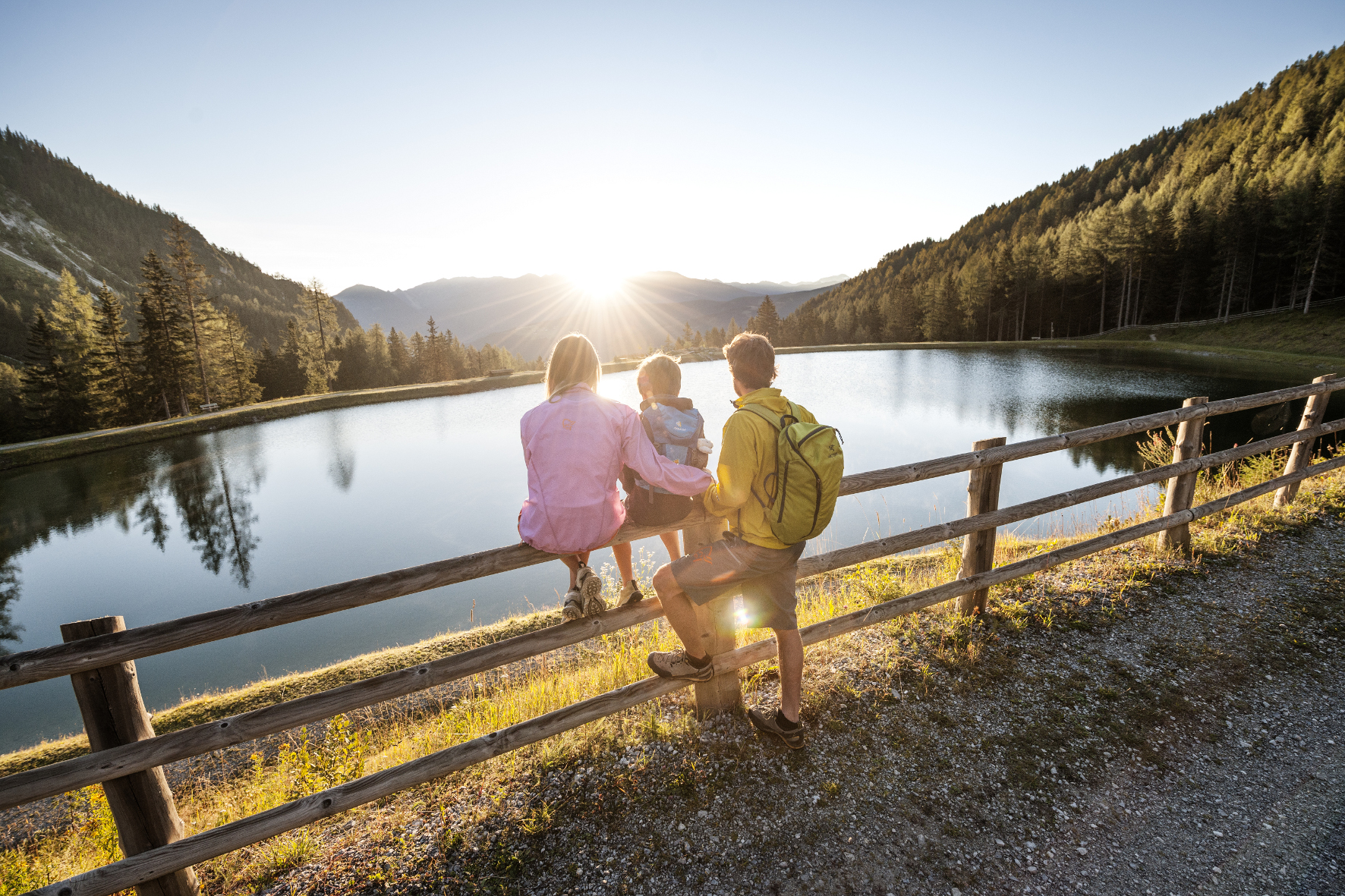
Besinnungsweg Neustift
ModerateThe Besinnungsweg Neustift is an 8.7 km circular route from Neustift-Neder through forest and alpine meadows – with viewpoints, rest stations and a meditative atmosphere away from the valley hustle and bustle.
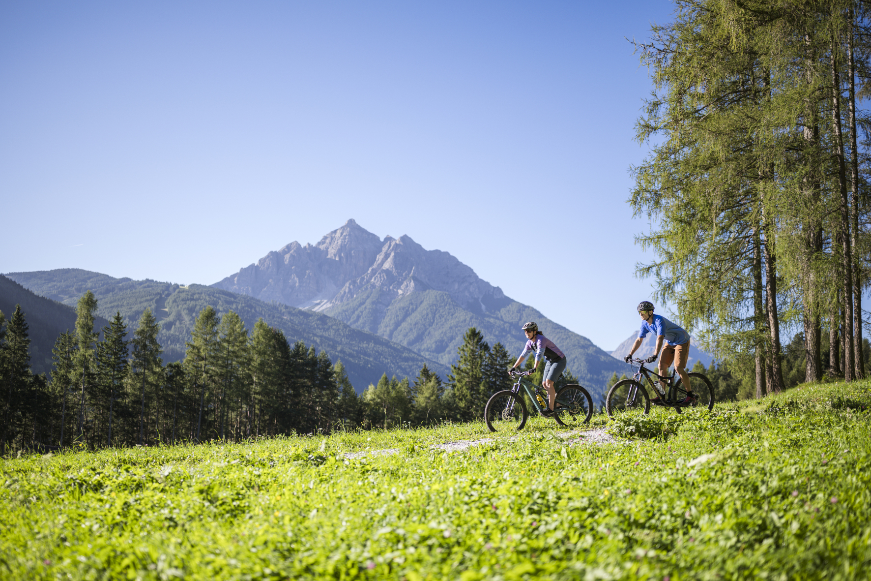
Elferhütte Hike
ModerateElferhütte Hike Stubaital: 7 km, 900 Hm, 3h – Ascension to Elferhütte at 2,080 m with 360° panorama over Stubaital, from Neustift town center.
Hike to the Franz-Senn Hut
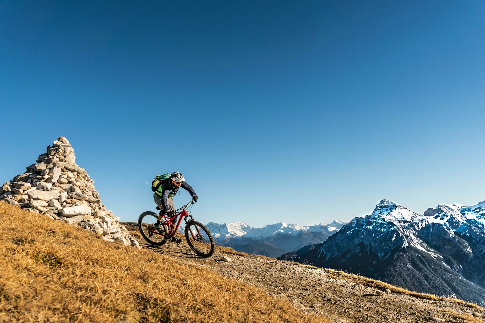
ModerateFranz-Senn Hut Stubai Valley: short hike through the Oberbergtal, 3 km, 405 m elevation gain – to the famous DAV hut at 2,147 m, starting from the Oberissalm car park.
Franz-Senn-Way (Themed Trail)
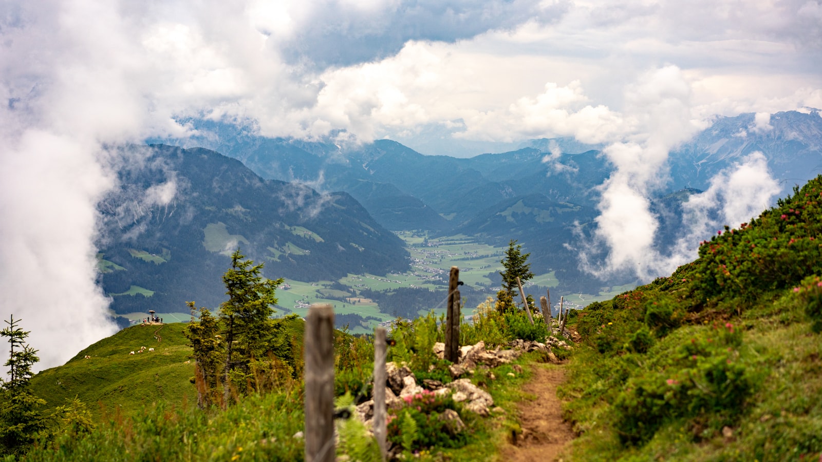
EasyThe Franz-Senn-Way Themed Trail in Neustift honors the 'Opening of the Stubai Valley' on 4.6 km through the village area – a gentle cultural hike with historical stations on the history of alpine tourism.
Gloatsteig
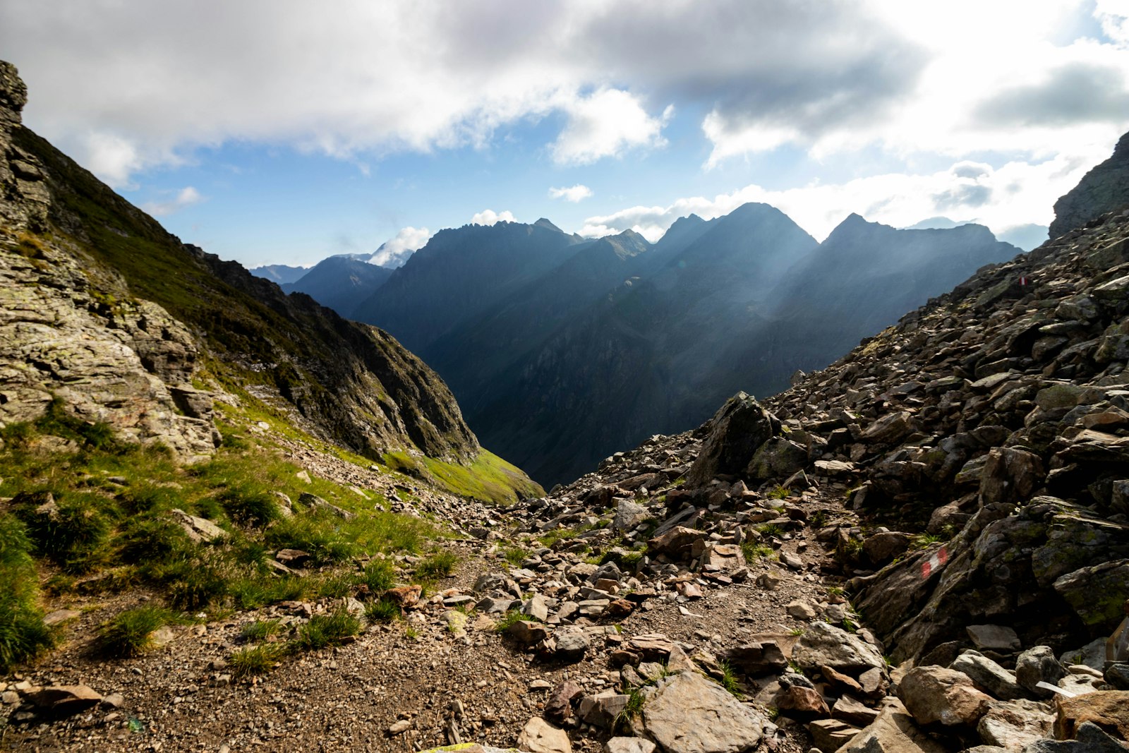
ModerateThe Gloatsteig is a traditional local trail in the Stubaital valley above Neustift – 10 km through forest and alpine meadows with a serene character and beautiful valley views, away from the major tourist routes.
Grawa Waterfall
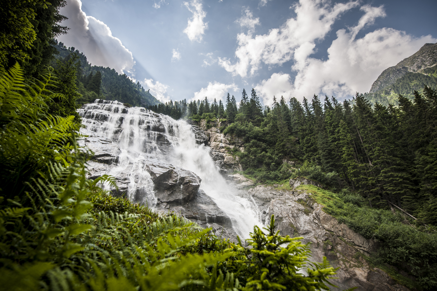
EasyGrawa Waterfall Stubaital: easy family hike, 5 km, 200 Hm – to the widest waterfall in Austria with refreshment at the Grawa Alm, from Ranalt.
Grünausee
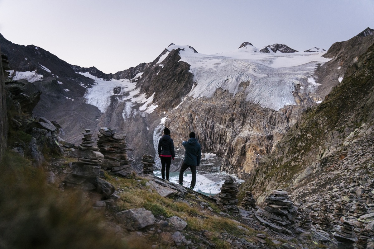
DifficultThe Grünausee in the Pinnistal valley lies on peaceful alpine terrain near the Innsbruck Hut – a beautiful hike of 836 meters in elevation through the picturesque Pinnistal valley with views of Serles and Kalkögeln.
Seven Summits Stubai – Habicht
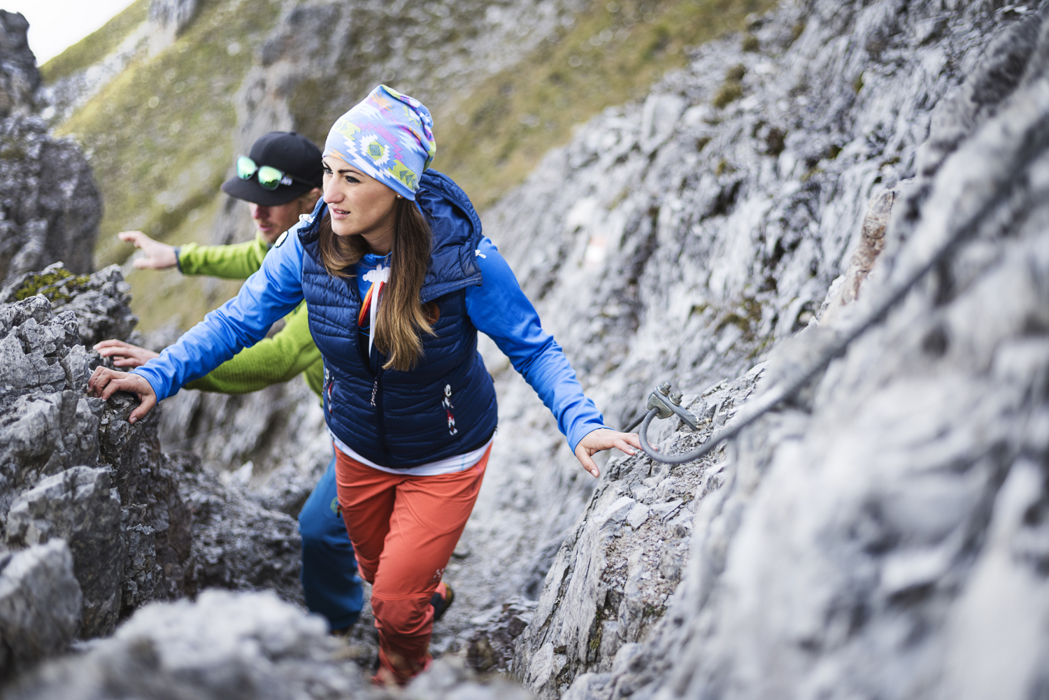
DifficultThe Habicht (3277m) is one of the Seven Summits Stubai: a classic Alpine summit tour with 2313 meters of ascent from Neustift-Neder – challenging, rewarding, and with one of the widest panoramas of the Stubaital.
Hoher Burgstall – Seven Summits Stubai
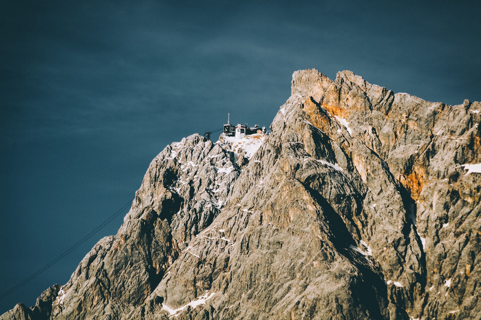
ModerateThe Hoher Burgstall (2,611m) is the most accessible of the Seven Summits Stubai – accessible from Fulpmes on well-marked paths, with great panoramic views and a relatively moderate climb.
Innsbrucker Hut - Pinnistal
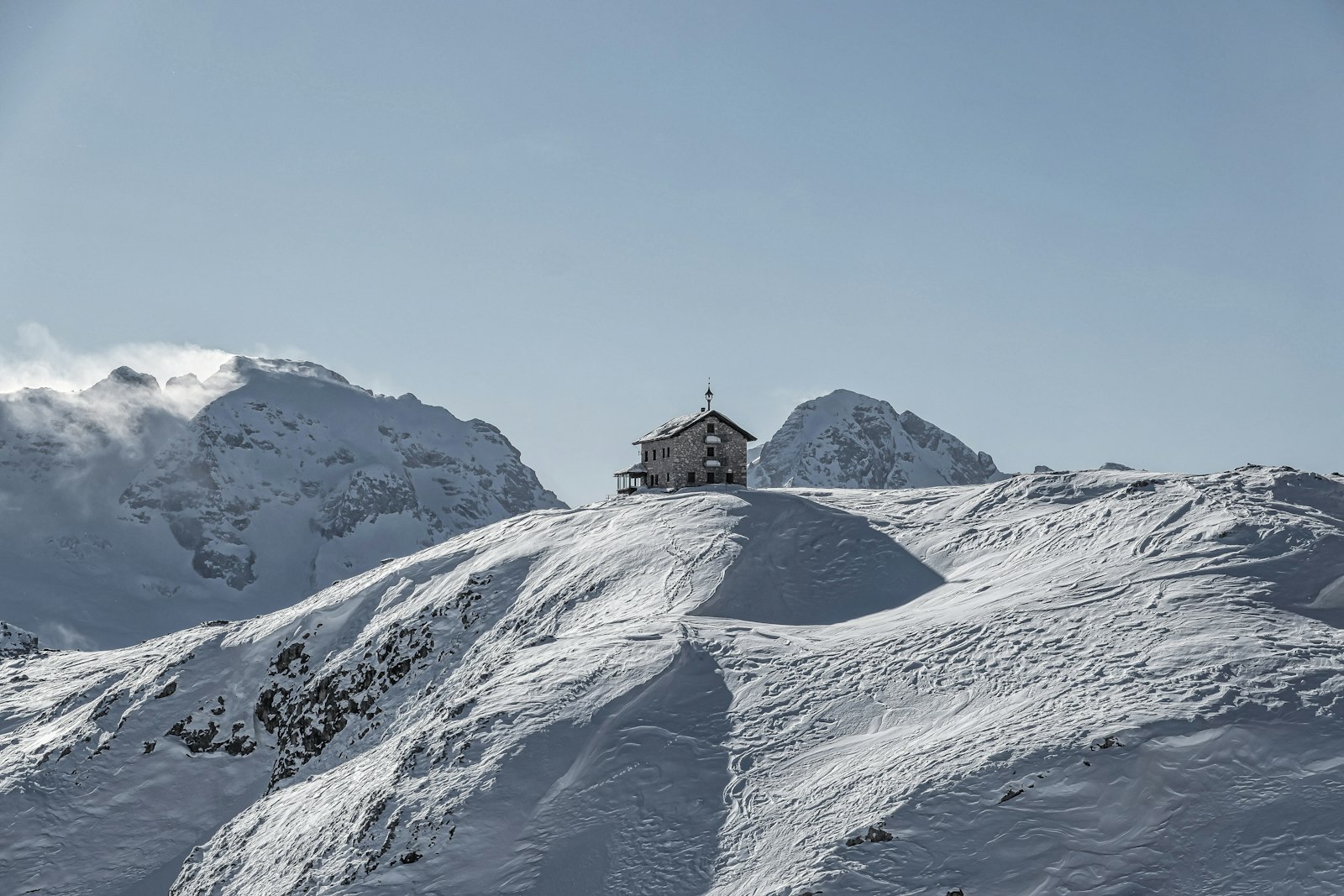
DifficultInnsbrucker Hut Stubai Valley: challenging hike, 10 km, 1,300 m elevation gain to the highest catered hut in the Stubai Valley at 2,369 m – from the Parkplatz Pinnisbach car park, Neustift.
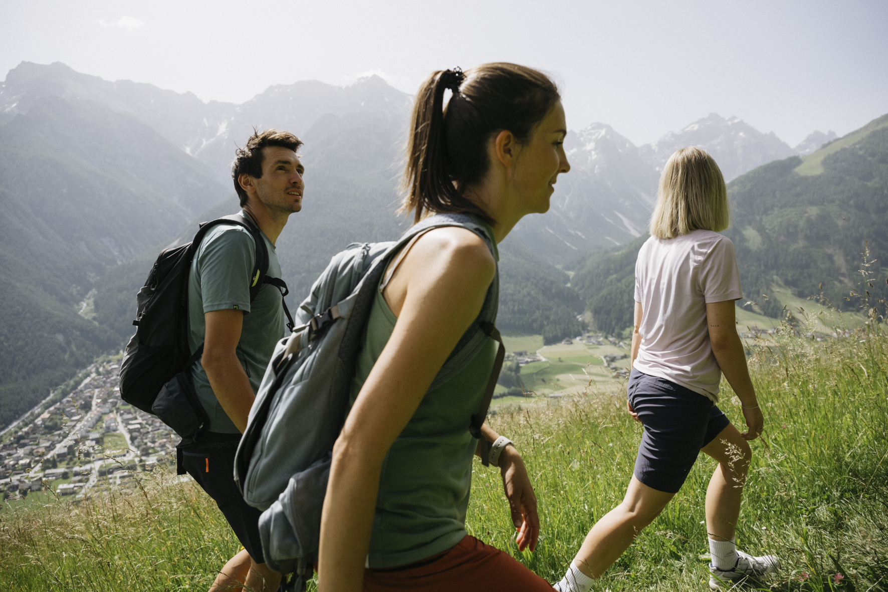
Kapellenweg Mieders
ModerateThe Kapellenweg Mieders connects on 5.4 km the historical chapels and way crosses around the village – a cultural historical round trail with 721 metres in altitude and beautiful views into the Stubaital valley.
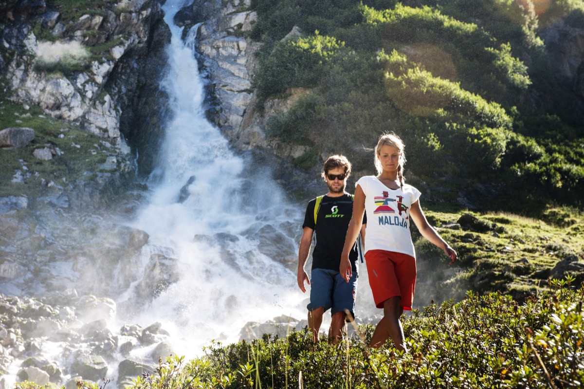
Karalm Runde – Pinnistal
EasyKaralm Runde Stubaital: easy family-friendly hike, 7 km, 350 m elevation gain in the Pinnistal – with stop at the Karalm, dog-friendly, starting from the Neder/Zegger car park.
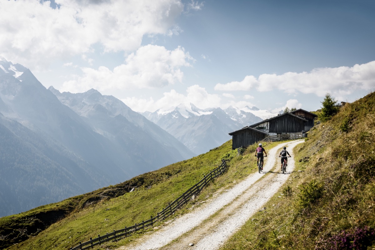
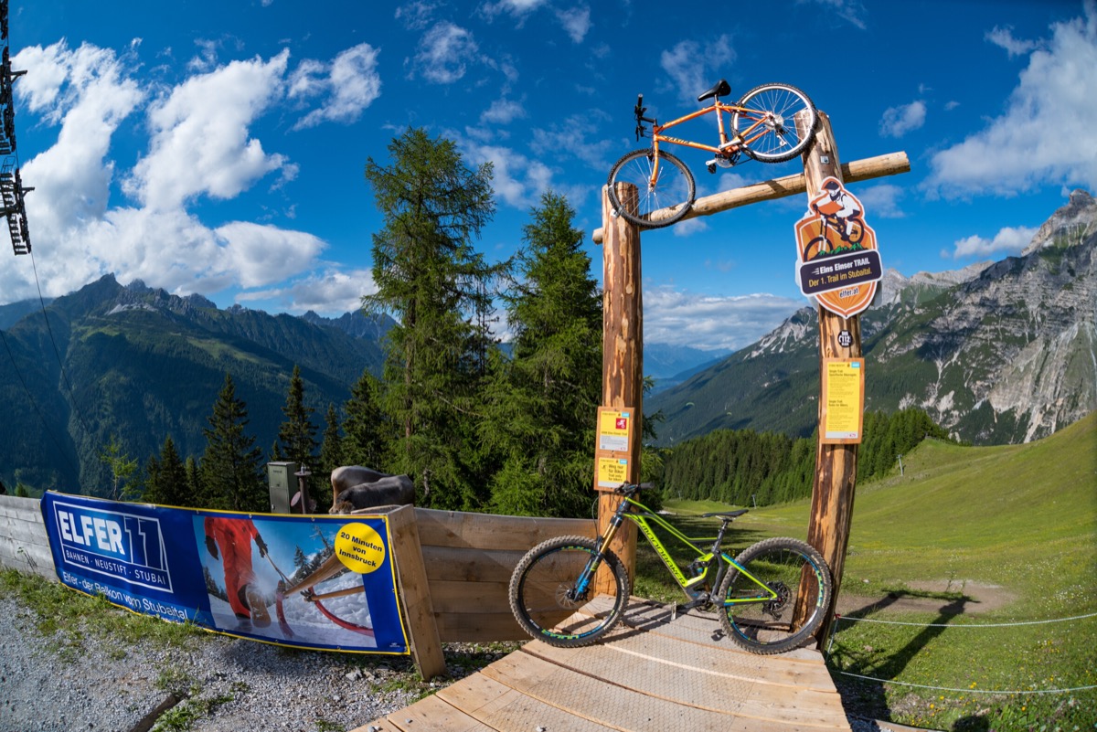
Mutterberger See
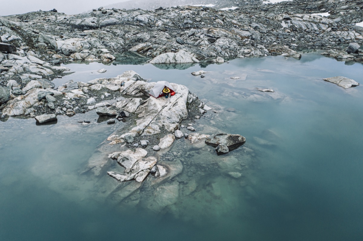
DifficultThe Mutterberger See is located at 2,476m near the Stubaier Gletscher – a condition-strenuous hike from Mutterberg with glacier views and one of the most beautiful Alpine lakes in the Stubaital.
Nature Trail Schlick 2000
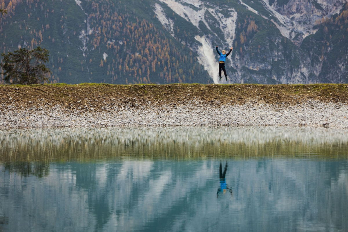
EasyThe Nature Trail Schlick 2000 is a nearly flat loop trail with information stations about alpine flora and fauna – ideal for families who travel up with the gondola and explore the mountain world in a relaxed way.
New Regensburger Hut – Falbesoner Valley
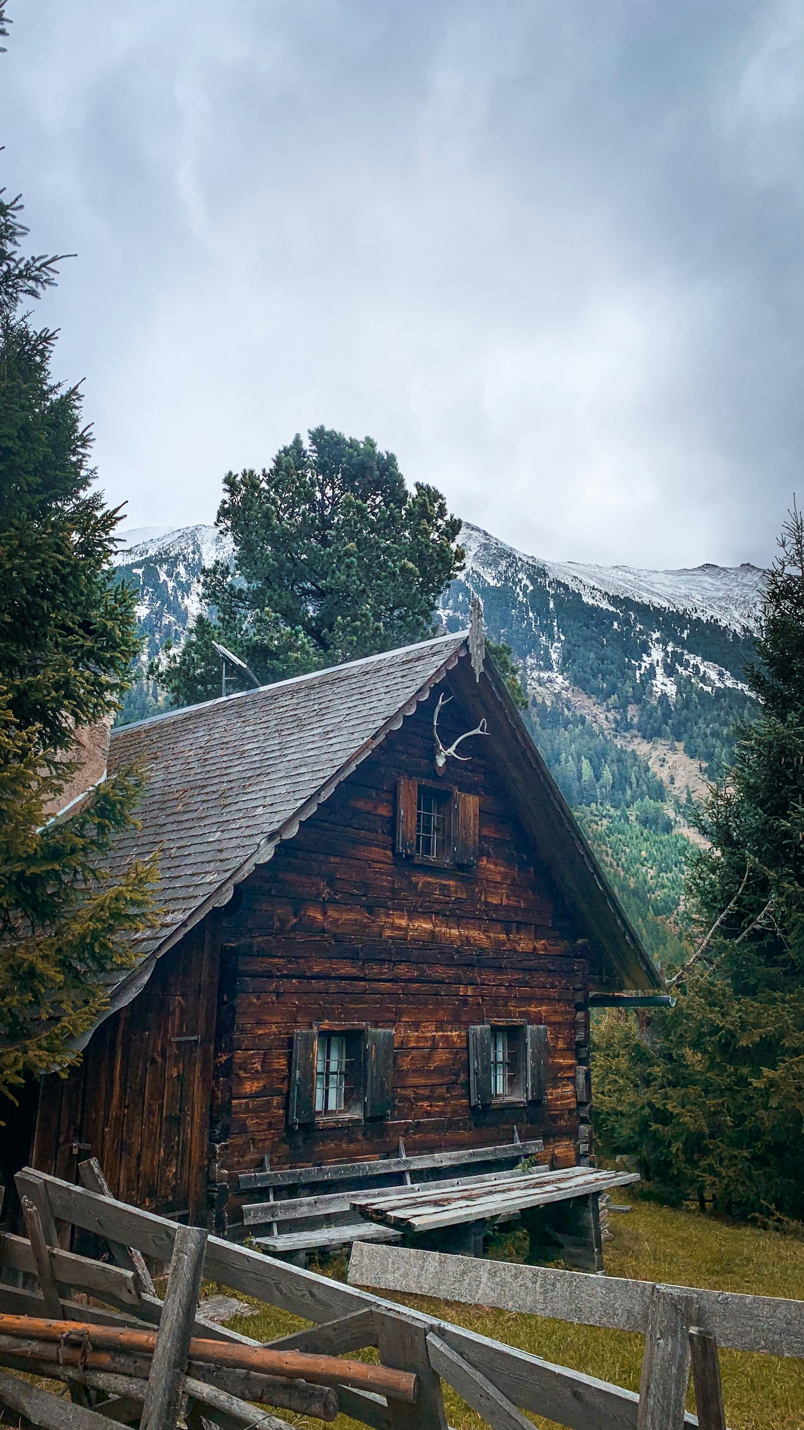
ModerateNew Regensburger Hut Stubaital: approx. 1,066 m of elevation gain through the Falbesoner Valley to the DAV hut at 2,286 m – starting point for further high mountain tours.
Nürnberger Hütte – Langental
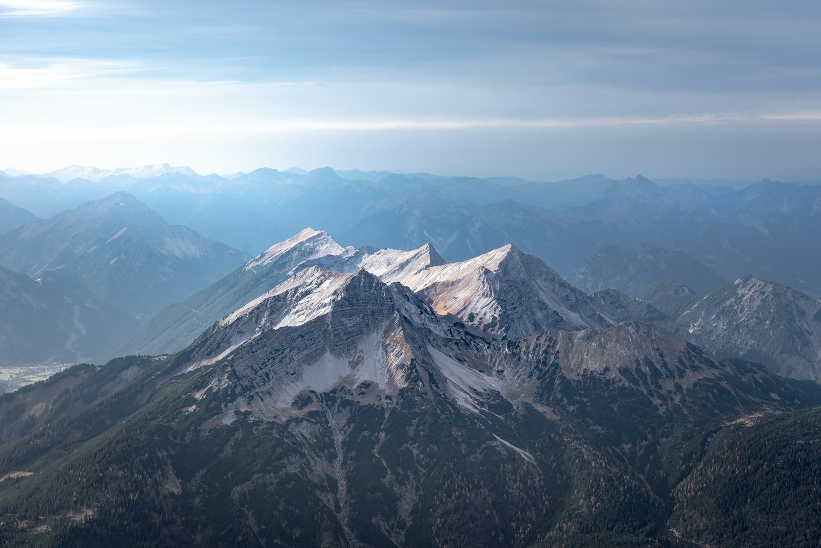
ModerateNürnberger Hütte Stubaital: 10 km, 1.050 Hm through the Langental to the DAV-hut at 2.280 m – Stubaier Höhenweg Station, starting point for Zuckerhütl.
Panoramaweg Elfer
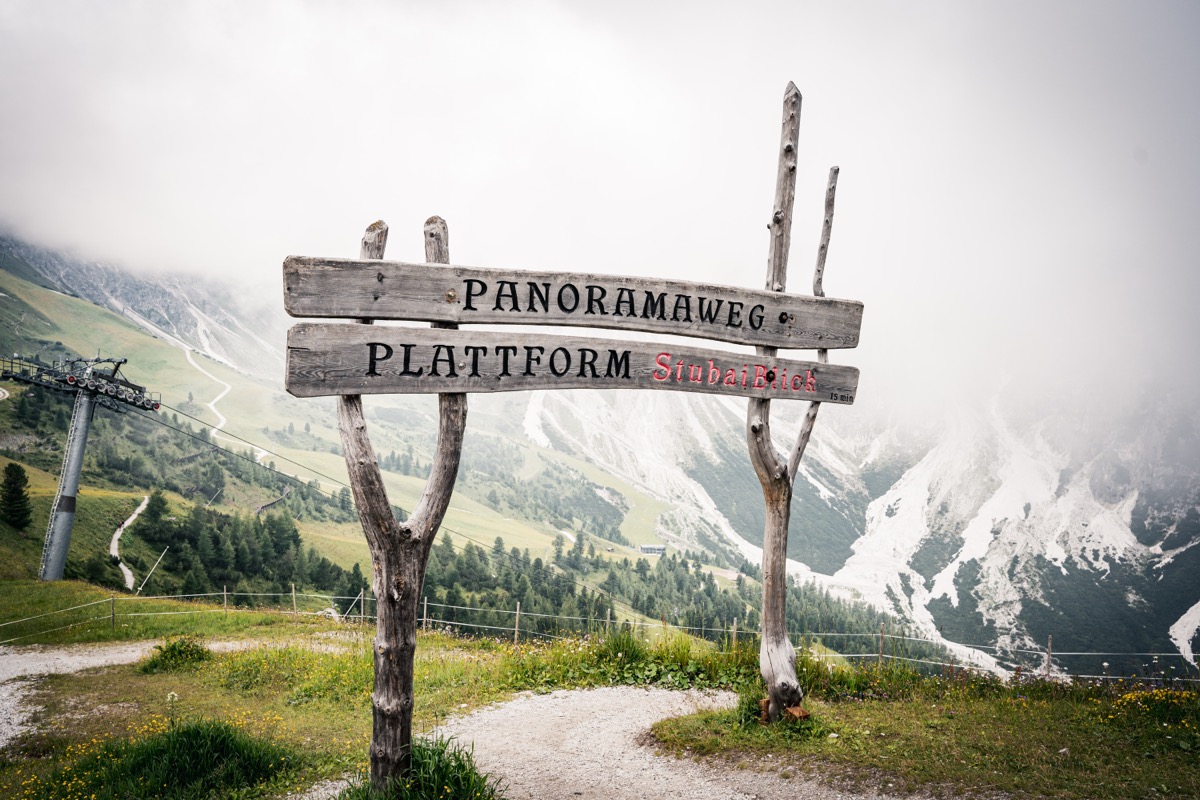
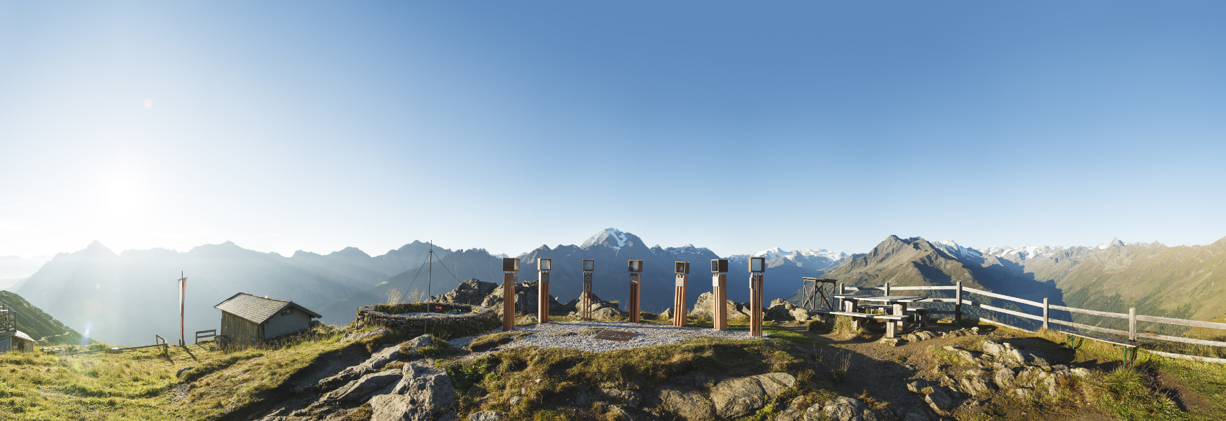
ModerateThe Panoramaweg Elfer traverses the slope above the Elferbahn-Mountain Station – with 450 meters of altitude and one of the widest valley views over the entire Stubaital valley to the Inntal valley.
Panoramaweg Gletscherblick
ModerateThe Panoramaweg Gletscherblick trail in Ranalt offers one of the best accessible views of the Stubaier Gletscher – 8.5 km with 500 meters of elevation gain on a scenic ridge trail.
Pilgerweg "Quo vadis"
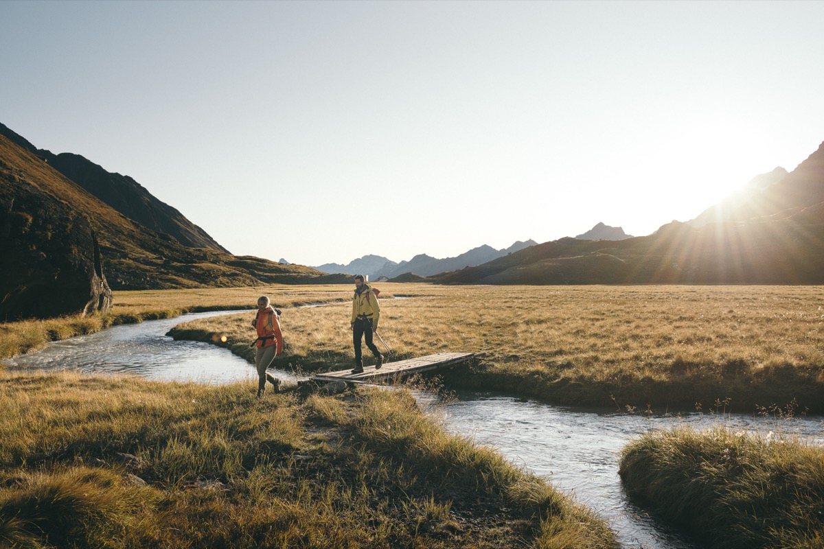
ModerateThe Pilgerweg 'Quo vadis' leads 22 km from Innsbruck's Dom St. Jakob via Natters, Mutters and Telfes to Mieders and on to the pilgrimage church Maria Waldrast – a spiritual themed trail past chapels and quiet stations for reflection.
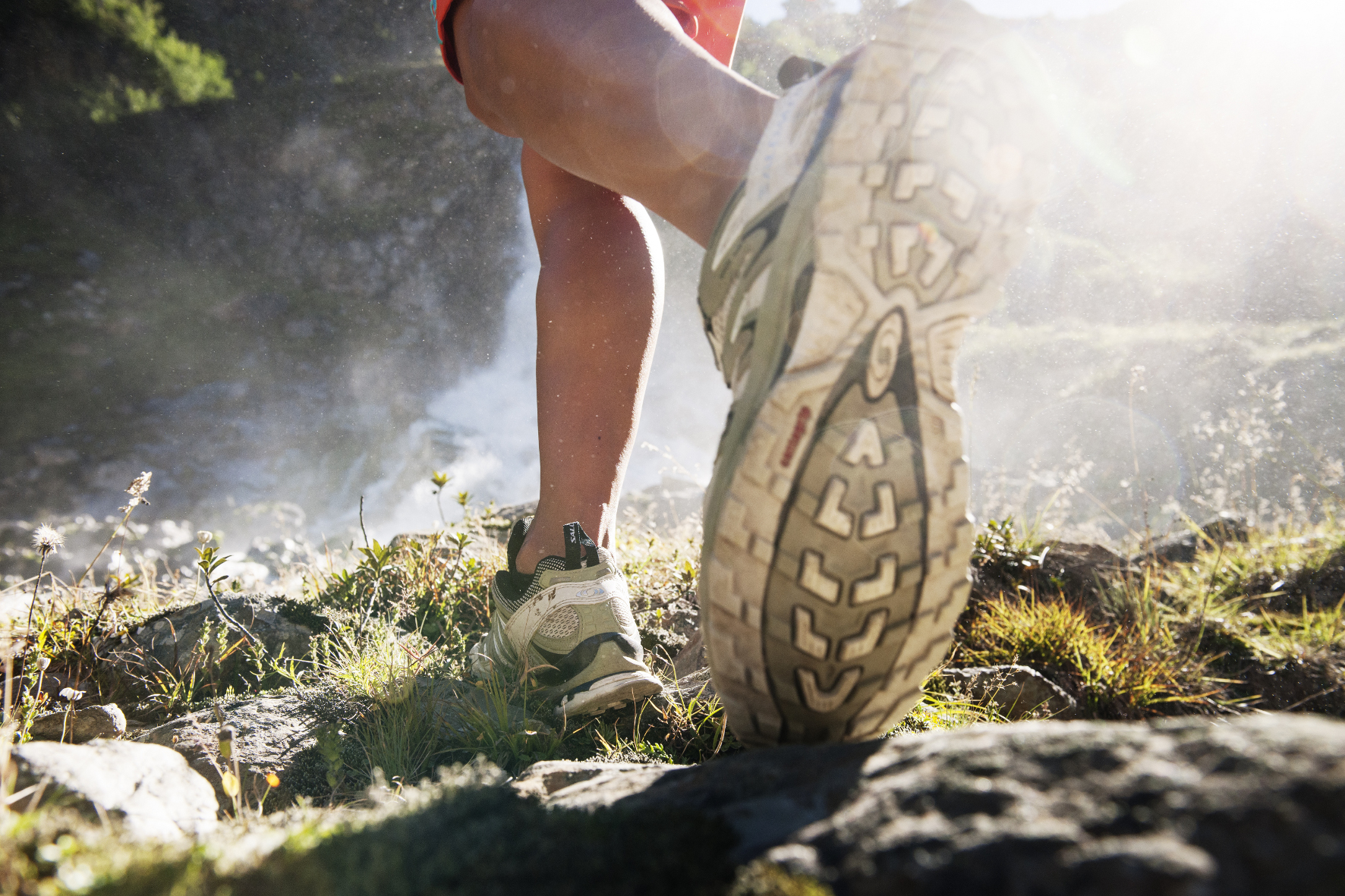
Pinnistaler Rundwanderung
EasyPinnistaler Rundwanderung: easy family round, 8 km, 250 Hm in the quiet Pinnistal – along the Pinnisalm, with views of the Serles Massif, departing from Neustift.
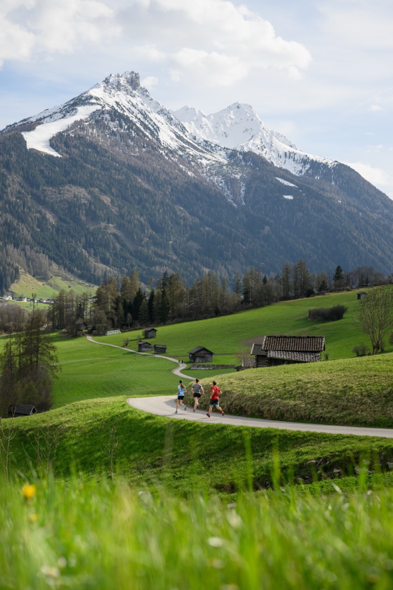
Quellenweg Mieders
EasyThe Quellenweg Mieders connects natural springs and water outflows around Mieders – a quiet themed path with surprisingly high altitude for its 'easy' classification.
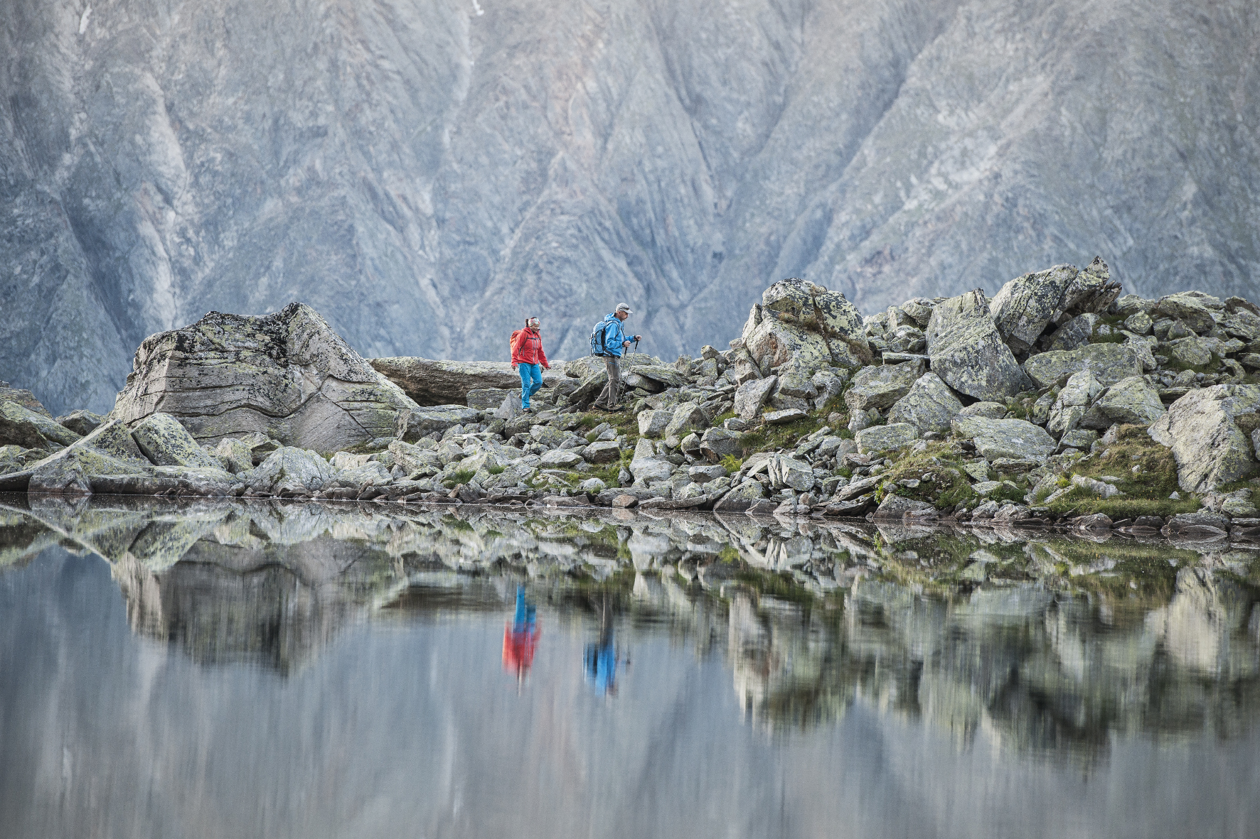
Rinnensee
DifficultThe Rinnensee at approx. 2,648 m is a secluded alpine lake in the Oberbergtal – starting from the Oberissalm parking lot via the Franz-Senn-Hütte. Strenuous, solitary, impressive.
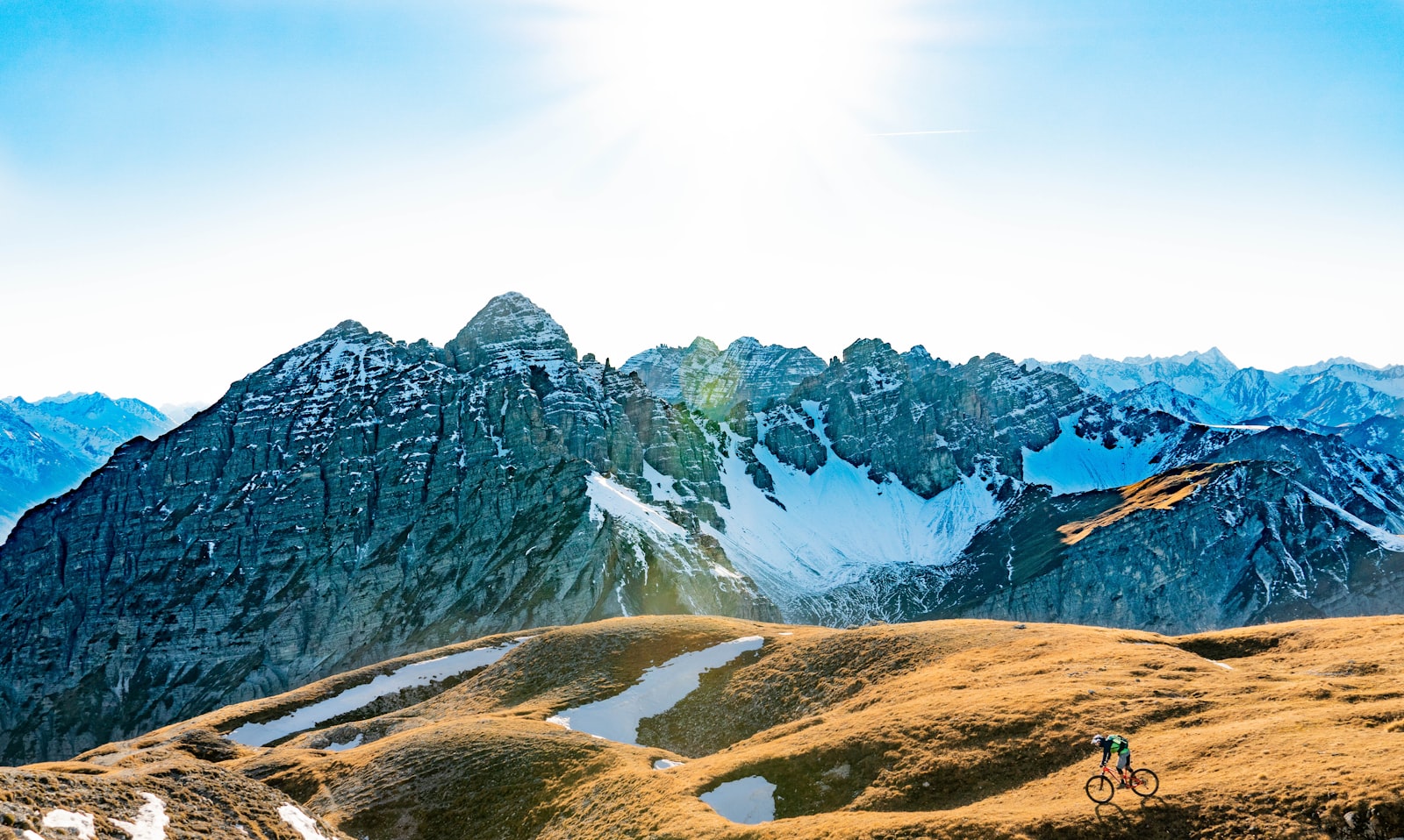
Rinnenspitze – Seven Summits Stubai
DifficultThe Rinnenspitze (3,003 m) is one of the Seven Summits Stubai – starting from the Oberissalm parking lot in the Oberbergtal, demanding and exposed along the summit ridge.
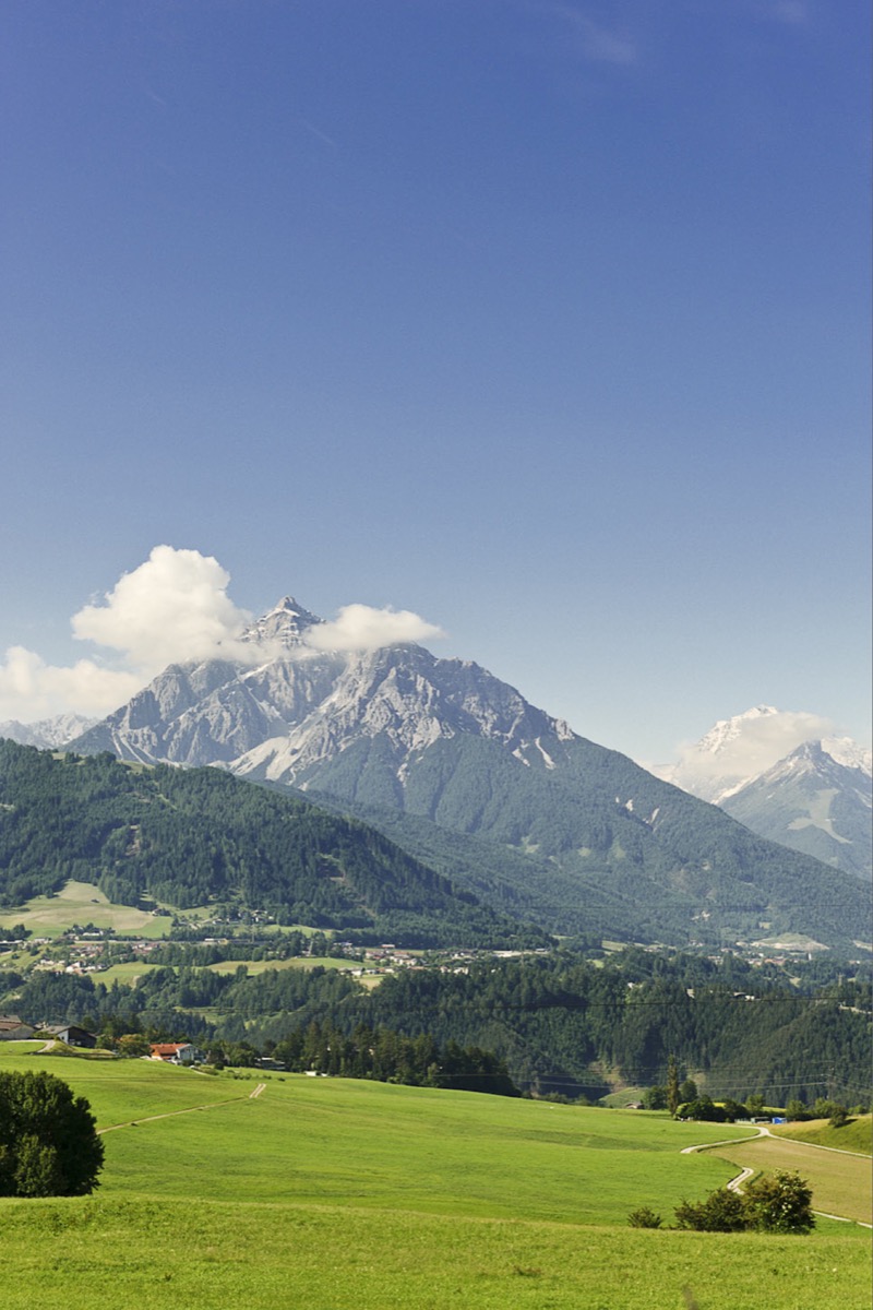
Rosendorf Telfes – Village Hike
EasyThe village hike Rosendorf Telfes leads through the most well-known Rosendorf in Tyrol – 15.6 km gentle hike through gardens, meadows, and the typical Stubaital village scenery of Telfes with panoramic views.
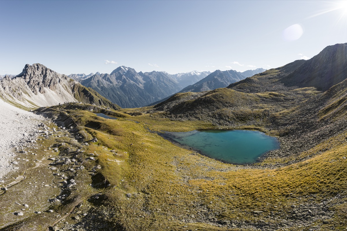
Schlicker Alm Tour
EasySchlicker Alm Tour Stubaital: a gentle hike starting from Bergstation Schlick 2000 Chairlift, Fulpmes - 6 km, 300 metres, ideal for families and beginners in the middle Stubaital.
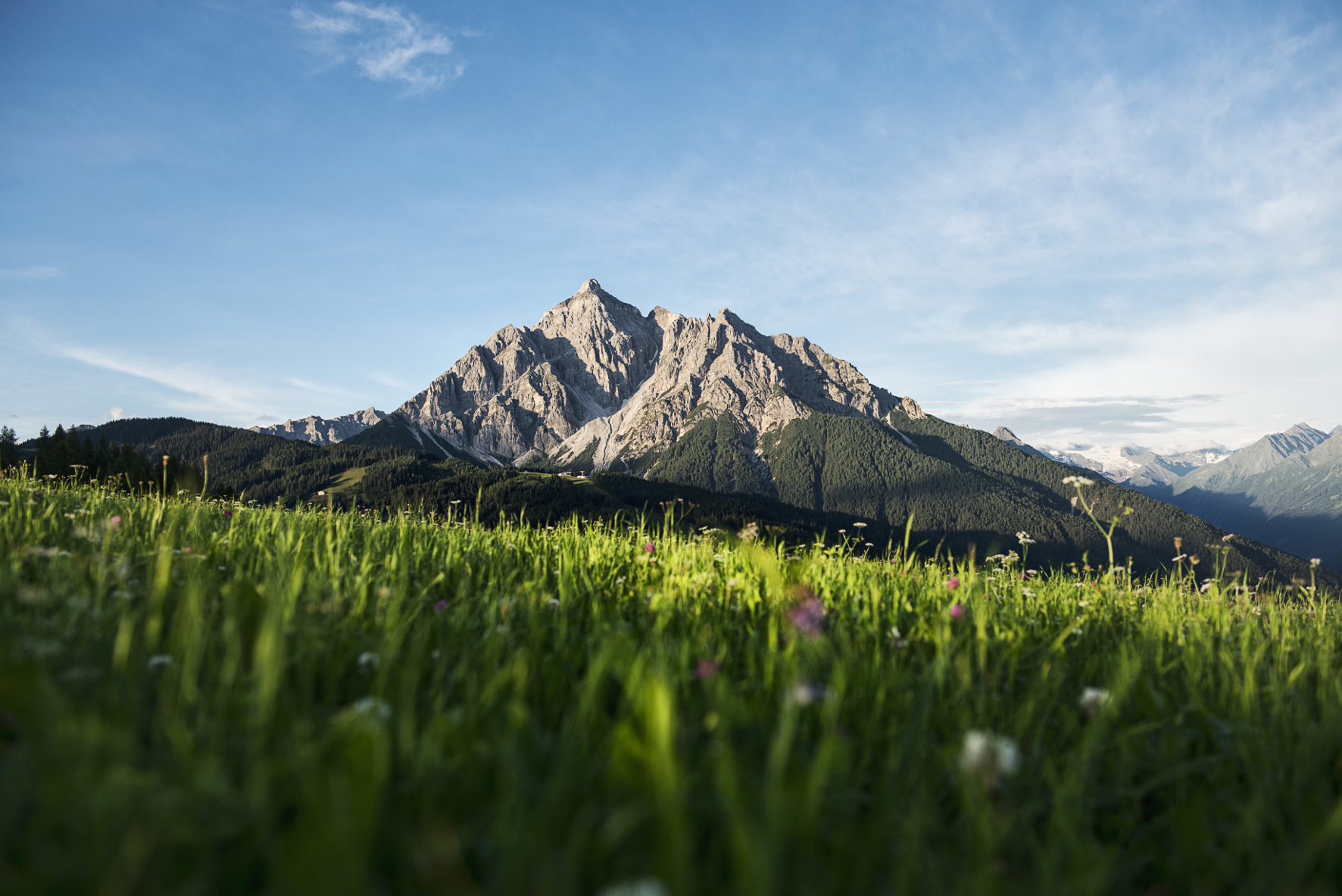
Serles – Heiliger Berg Tyrols
DifficultSerles Summit Tour Stubaital: challenging ascent to 2,718 m, 12 km, 1,250 Hm – the 'Holy Mountain of Tyrol' with summit cross and 360° panorama, starting from Mieders.
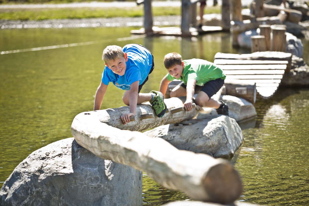
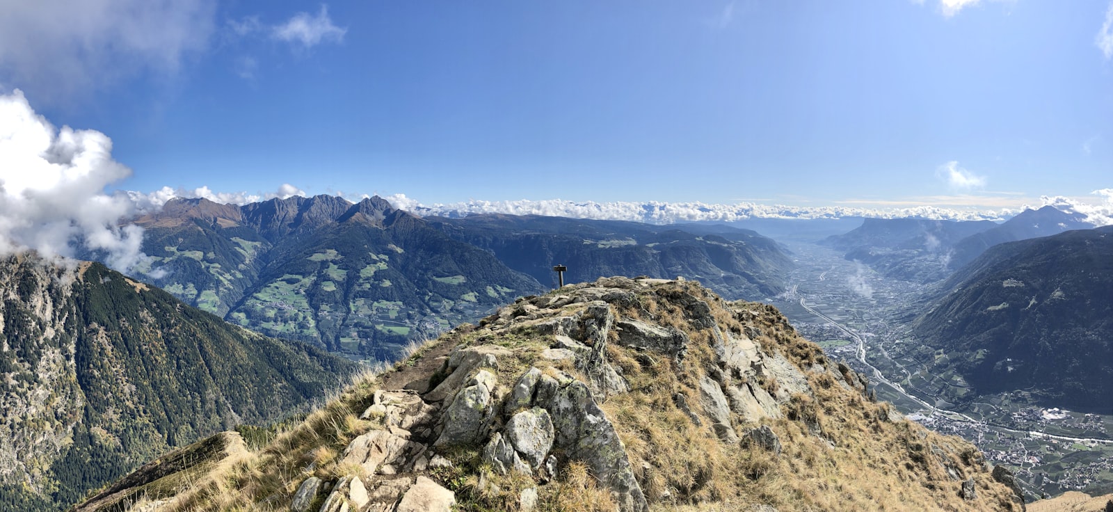
Stubaier High Route
DifficultThe Stubaier High Route connects the major mountain huts of the Stubai Valley over approx. 80 km and 7 stages – a classic multi-day alpine adventure with approx. 6,000 meters of elevation gain and spectacular glacier views.
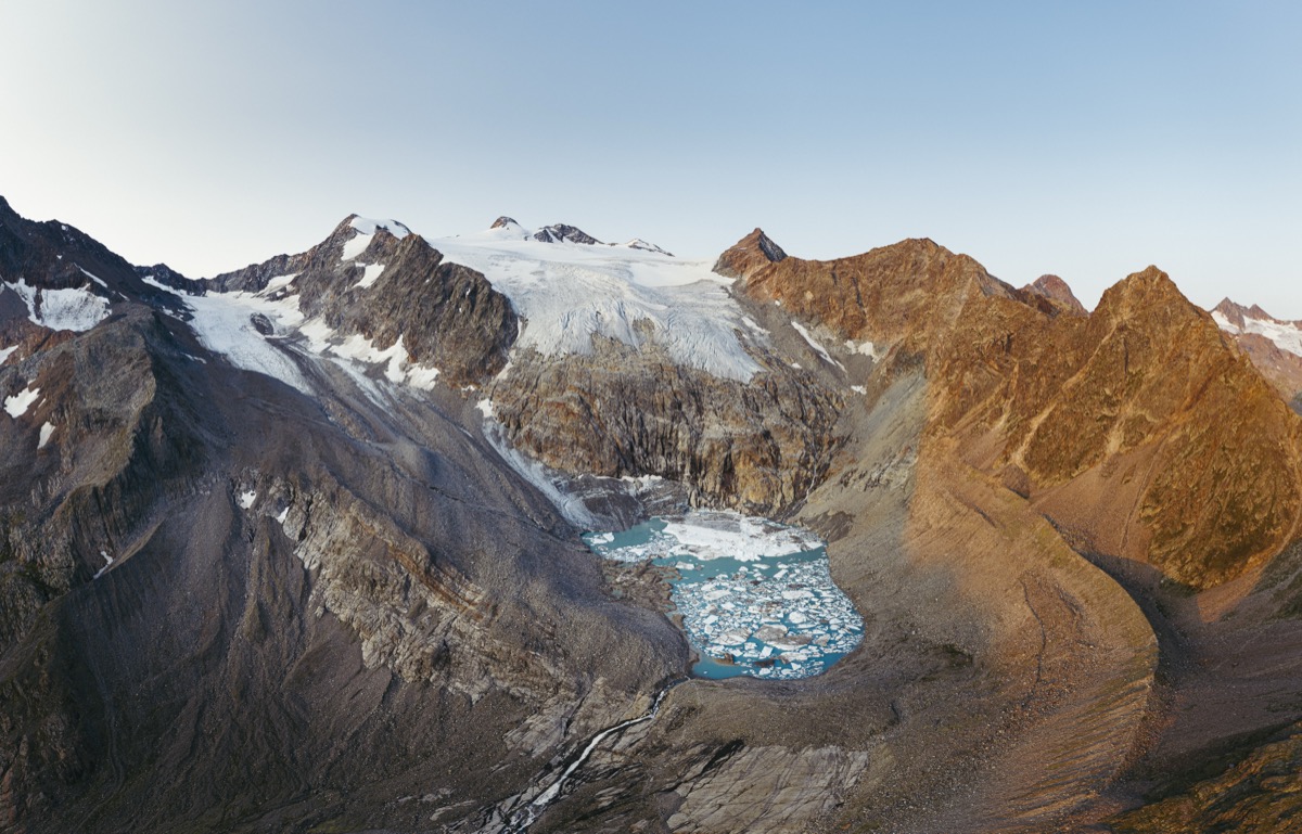
Sulzenau Hutte & Gletscherblick
ModerateSulzenau Hut Stubaital: 9 km, 950 m ascent with glacier view – hike to Sulzenau Hut at 2,191 m, passing by Grawa Waterfall, starting from Mutterbergalm.
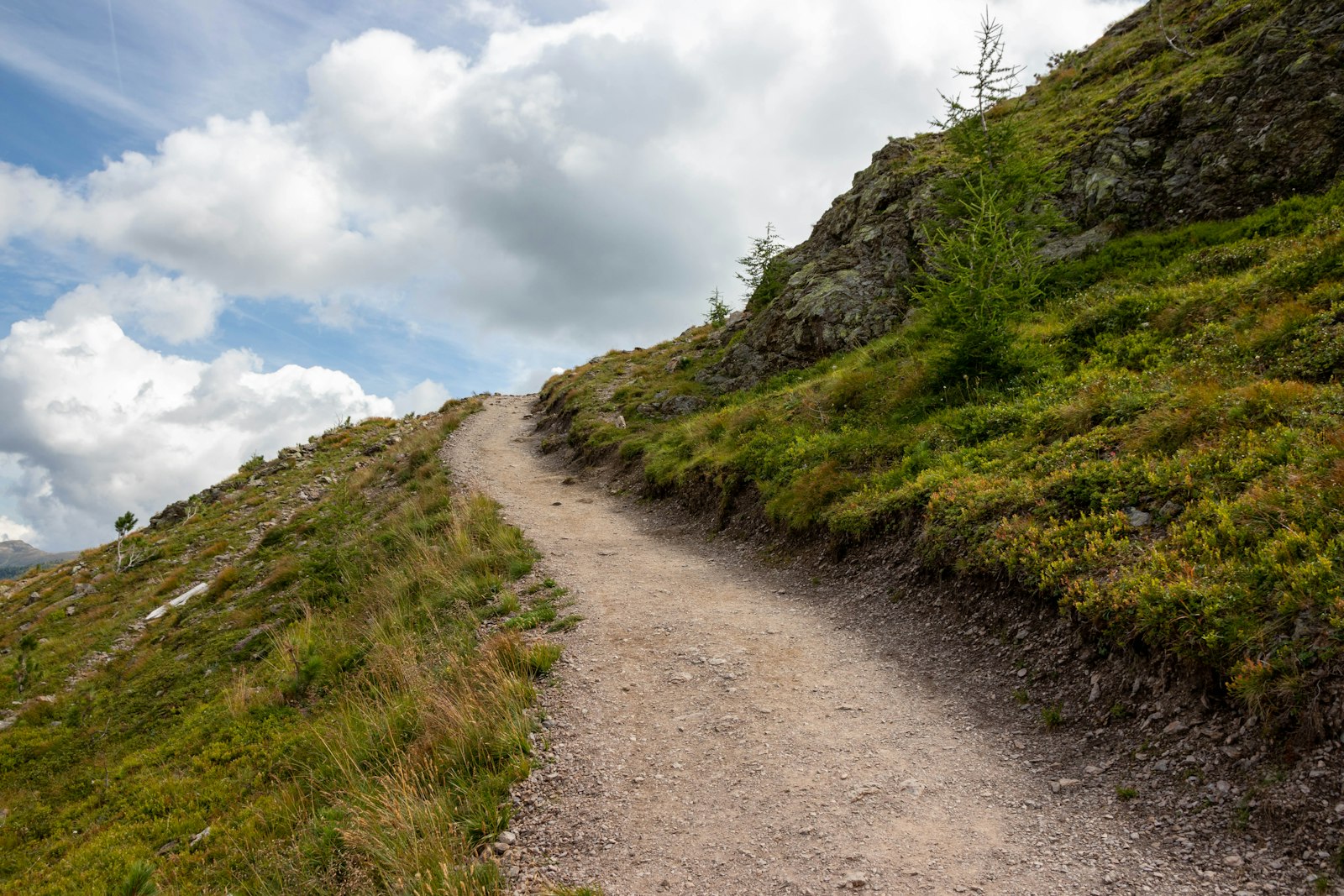
Sunnenseit'n Weg
ModerateThe Sunnenseit'n Way in Mieders combines sunny slope trails, Tyrolean views, and a spectacular suspension bridge over the Stubai Valley – a must-see for those looking for something special.
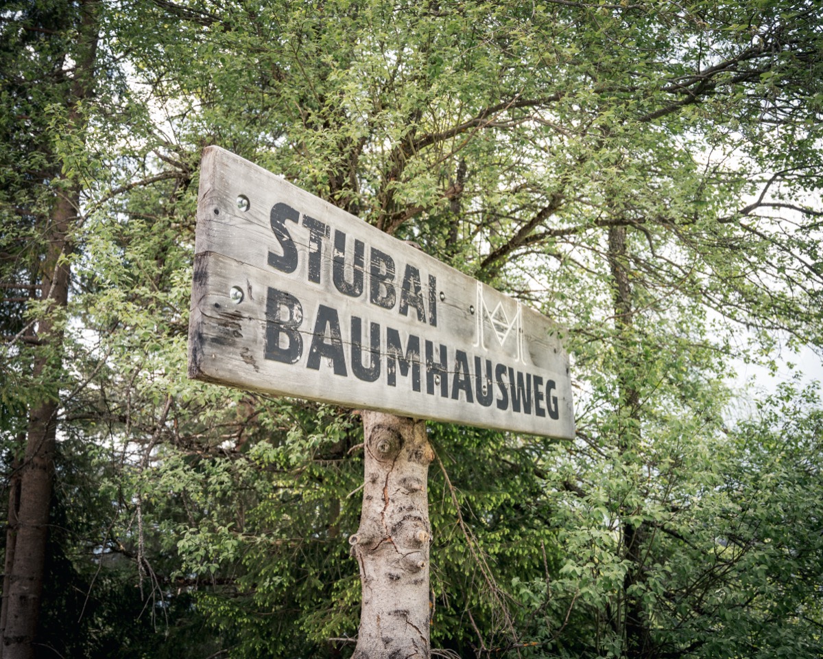
Waldtierweg Gleins
ModerateThe Forest Animal Path Gleins in the Schönberg area is a short nature trail with a forest fauna theme – ideal for families with older children who want to learn about the local wildlife in a playful way.
Wild Water Way – Stubaital Thematic Trail
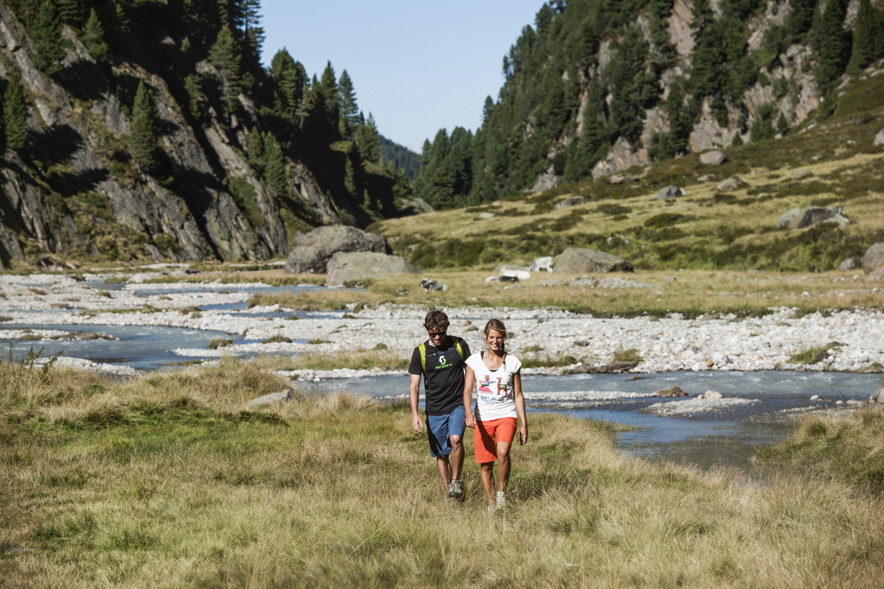
ModerateWild Water Way Stubaital: 9.64 km along the Ruetz from Ranalt to the Sulzenauhütte – water courses, gorges, alpine pastures and the Grawa Waterfall on one of Tyrol's most beautiful thematic trails. 1,165 m of elevation gain, medium difficulty.
Wilder Freiger – Seven Summits Stubai
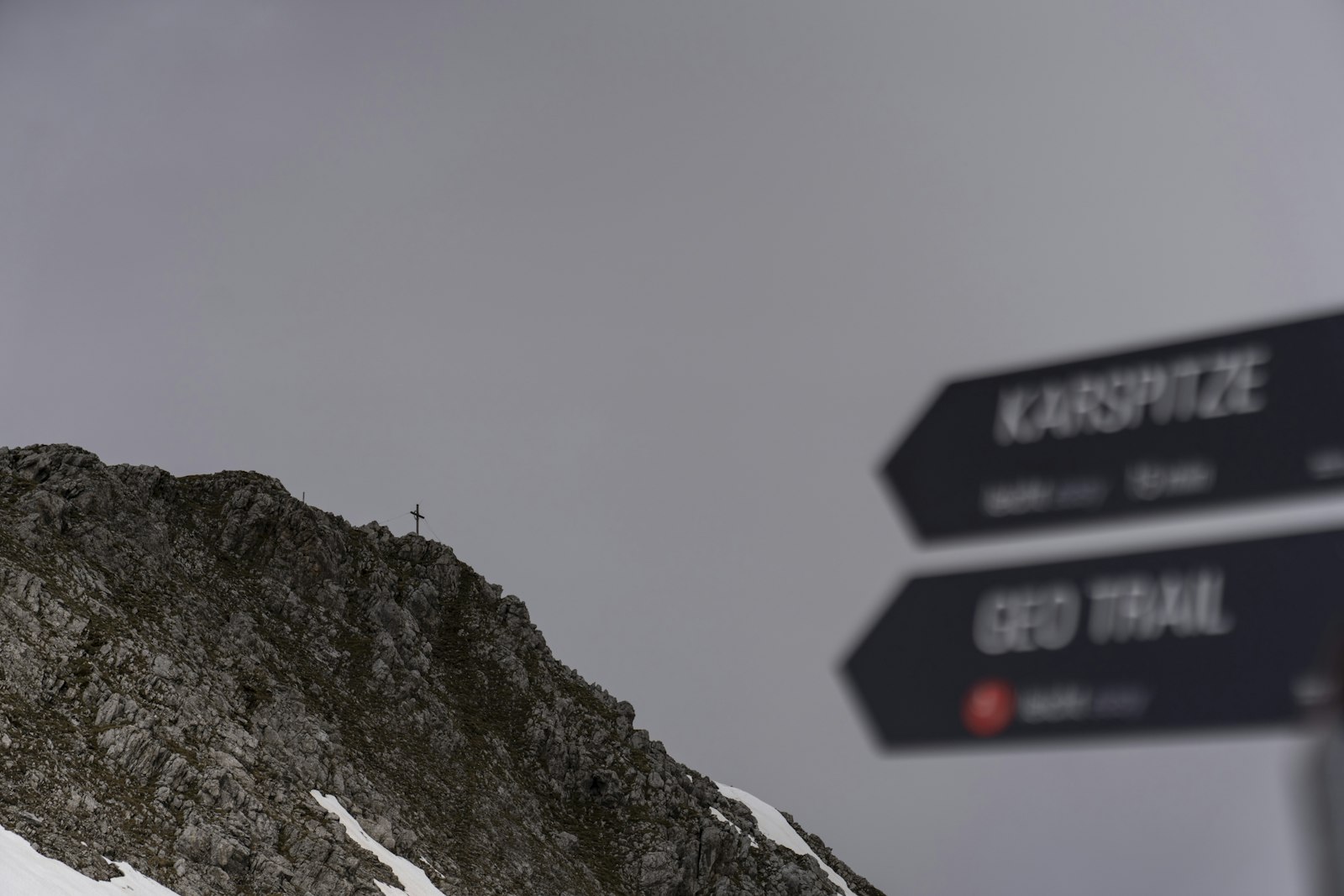
DifficultThe Wilder Freiger (3,418m) belongs to the Seven Summits Stubai: An alpine glacier tour over the Sulzenau Hütte with crampons and rope – a memorable experience for experienced hikers.
Zuckerhütl – Seven Summits Stubai
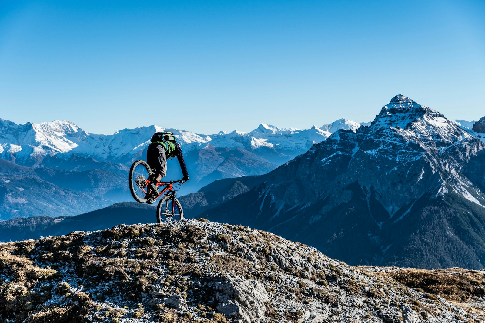
DifficultThe Zuckerhütl (3,507m) is the highest of the Seven Summits Stubai – by glacier railway to Eisgrat at 3,160m, then glacier terrain with crampons to the roof of the Stubai Valley.
No routes for this filter.