Bike tour · Stubaital
MTB Kreuzjoch
Starting point: Mieders
20
km
920
Hm ↑
4 h
Walking time
MTB Kreuzjoch is for bikers what a key route in a climbing area is: the tour that you’re measured by. 20 kilometers, 920 meters of ascent, from Mieders to Kreuzjoch – a highlight on the crest between Stubaital and the adjacent valley, rewarded with one of the region’s most extensive panoramas. No route for beginners, but unforgettable for those who bring the requirements.
Why this tour?
Kreuzjoch is located at around 2,000 meters above sea level and is the highest point of a bike tour that runs completely on forest roads and alpine trails – no single trail, no slide passages, but maximum gradient on long sections. The view from the saddle stretches as far as the Stubaier and Zillertaler glaciers under good conditions.
Mieders as a starting point is well-developed: car park at the edge of the village, bakery for the breakfast rolls before starting and an inn for refreshment afterwards. That’s all you need.
Route description
Start Mieders (approx. 870 m): The route begins at the north edge of the village of Mieders. Initially on asphalt through the village’s outskirts, then on gravel into the forest.
Long forest road ascent (approx. km 1–10): The route rises constantly, rarely flat. On the first 10 kilometers, you’ll tackle most of the altitude gain. The forest road is wide and bike-friendly, but the length wears out your legs. Regular drinking breaks are a must here, not a weakness.
Alm zone (approx. km 10–14, around 1,700 m): The forest opens up to alpine meadows. Here, you’ll encounter cattle herds and sheep in the summer. The route becomes narrower, and the view wider. First glimpses of the Kreuzjoch massif.
Steepest passage (approx. km 14–17): The last altitude gain to the saddle is the hardest. On some sections, the gradient exceeds 20% – even with an e-bike, it’s a real challenge. Technically clean riding, even pace.
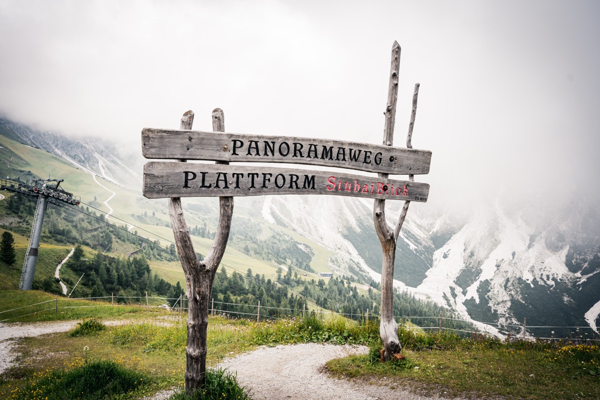
Kreuzjoch (approx. km 17–18, around 1,980 m): The saddle is reached. Panorama in all directions: Stubaital, Serles, and in the south, the glaciers. Anyone not pausing here misses out.
Descent (approx. km 18–20): Short but intense descent to Mieders. The descent is steep and demands good braking skills on the upper sections. In the valley, it flattens out again.
Refreshment options
| Location | Location | Notes |
|---|---|---|
| Almzone refreshment stand | around km 12 | Seasonal, simple refreshments |
| Mieders inn | End point | Good offer for recovery after the tour |
Requirements
- Fitness: Extremely high – 920 meters with long steep sections are only suitable for well-trained bikers
- Techniques: Medium – wide forest road, but steep ramps require technical control
- Bike: Full-suspension mountain bike or e-bike with sufficient battery life
- Brakes: Definitely check before the tour – the descent is correspondingly demanding
Practical tips
- E-bike battery: Reach the top with high weight and maximum support – calculate range
- Navigation: Load GPS track – some branching off in the upper sections are not clearly marked
- Weather: The weather can change quickly at high altitudes – always have a rain jacket
- Dogs: Not suitable – route too long, too steep, and cattle in the upper sections
The MTB Kreuzjoch is the master’s school among Miederer bike tours – those who complete it can do so with justification.
Route map
Frequently asked questions about MTB Kreuzjoch
- How difficult is MTB Kreuzjoch?
- MTB Kreuzjoch is rated "Difficult". The route has 920 metres of elevation gain.
- How long is MTB Kreuzjoch?
- 20 km. Hiking time: approx. 4 hours.
- Are dogs allowed on MTB Kreuzjoch?
- Dogs are not allowed or not recommended on this trail.
Questions about this route?
The AI Guide knows all details about this trail