Hiking route · Stubaital
Sunnenseit'n Weg
Starting point: Mieders, Village Square
8.2
km
400
Hm ↑
3 h
Walking time
- Dogs allowed
The Sunnenseit’n Way truly lives up to its name: it runs along the sunlit west side of the Stubai Valley above Mieders – with sweeping views of the valley, through larch forests, and over blooming alpine meadows. The heart of the tour is a suspension bridge, which spans the valley high above.
Why the Sunnenseit’n Way?
This trail is more than just a hike – it’s an experience. The suspension bridge is one of the most spectacular points in the entire Stubai Valley and offers a view down into the valley that will leave even experienced hikers breathless. At the same time, the tour as a whole remains moderate: 400 meters of elevation gain over 8.2 km are easily manageable.
Route Description
Start Mieders, Village Square (approx. 870 m): The trail begins in the town center and initially follows well-marked forest roads out of the village.
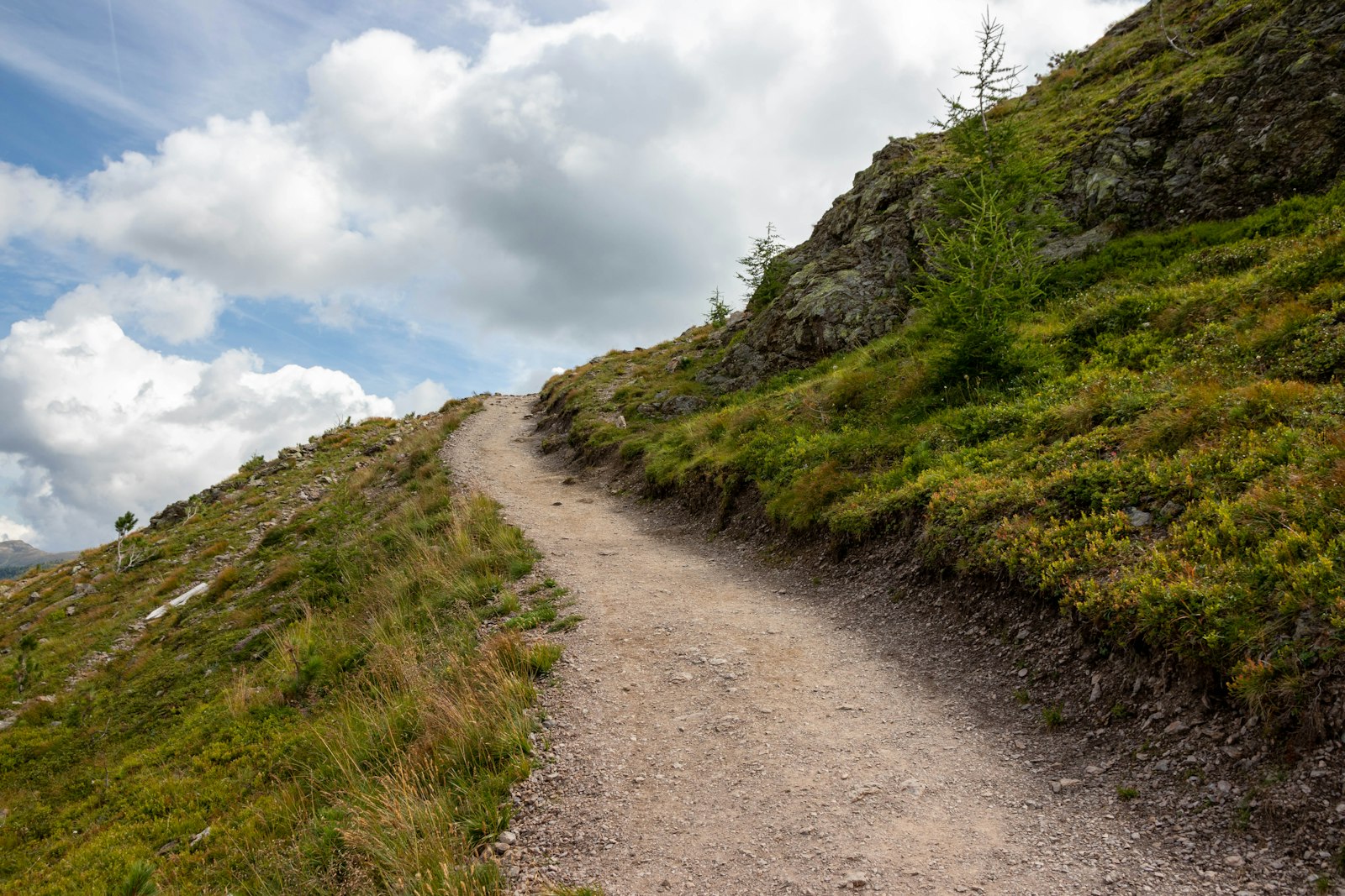
Sunny Slope Trail (km 2–5): Now the trail shows its face. The path traverses the sunny slope side, sometimes through light larch forest, sometimes over open meadows. The entire Stubai Valley lies at your feet.
Suspension Bridge (approx. km 5.5): The absolute highlight. The bridge spans a deep ravine – those who love heights will enjoy an unforgettable view. Dogs are allowed, but should be secure on their feet.
Descent towards Mieders (km 5.5–8.2): The return journey leads through the forest back down to the village.
Requirements
- Good average physical condition
- Good balance on the descent helpful
- Acrophobia recommended for the suspension bridge
- No alpine experience necessary
- Dogs on a leash at the suspension bridge and on narrow trails
Tips
- Best time: May to October – the sunny side quickly dries out after rain
- Early start: By midday, the sunny side can become very hot in the summer
- Combination: Can be easily combined with a coffee in Mieders before or after the tour
- Suspension Bridge: The bridge may be closed in strong winds – please follow the signs
The Sunnenseit’n Way is one of the most characteristic themed trails in the lower Stubai Valley – sunny, scenic, and with a highlight that will be remembered.
You might also like:
- The Karalm Trail in the Stubai Valley: A scenic trail with mountain views and historic huts.
- The Franz-Senn-Hütte Trail in the Stubai Valley: A challenging hike to the mountain hut with great mountain views.
- The Brenner Trail in the Stubai Valley: A scenic trail along the Brenner Pass with great mountain views.
Note: The translation of the file content has been done according to the provided rules, preserving all markdown formatting. The translated text is written in English. The geographic names, mountain/hut names, and the “slug” value have been kept as-is, as per the rules.
Route map
Frequently asked questions about Sunnenseit'n Weg
- How difficult is Sunnenseit'n Weg?
- Sunnenseit'n Weg is rated "Moderate". The route has 400 metres of elevation gain.
- How long is Sunnenseit'n Weg?
- 8.2 km. Hiking time: approx. 3 hours.
- Are dogs allowed on Sunnenseit'n Weg?
- Yes, this trail is dog-friendly.
Questions about this route?
The AI Guide knows all details about this trail