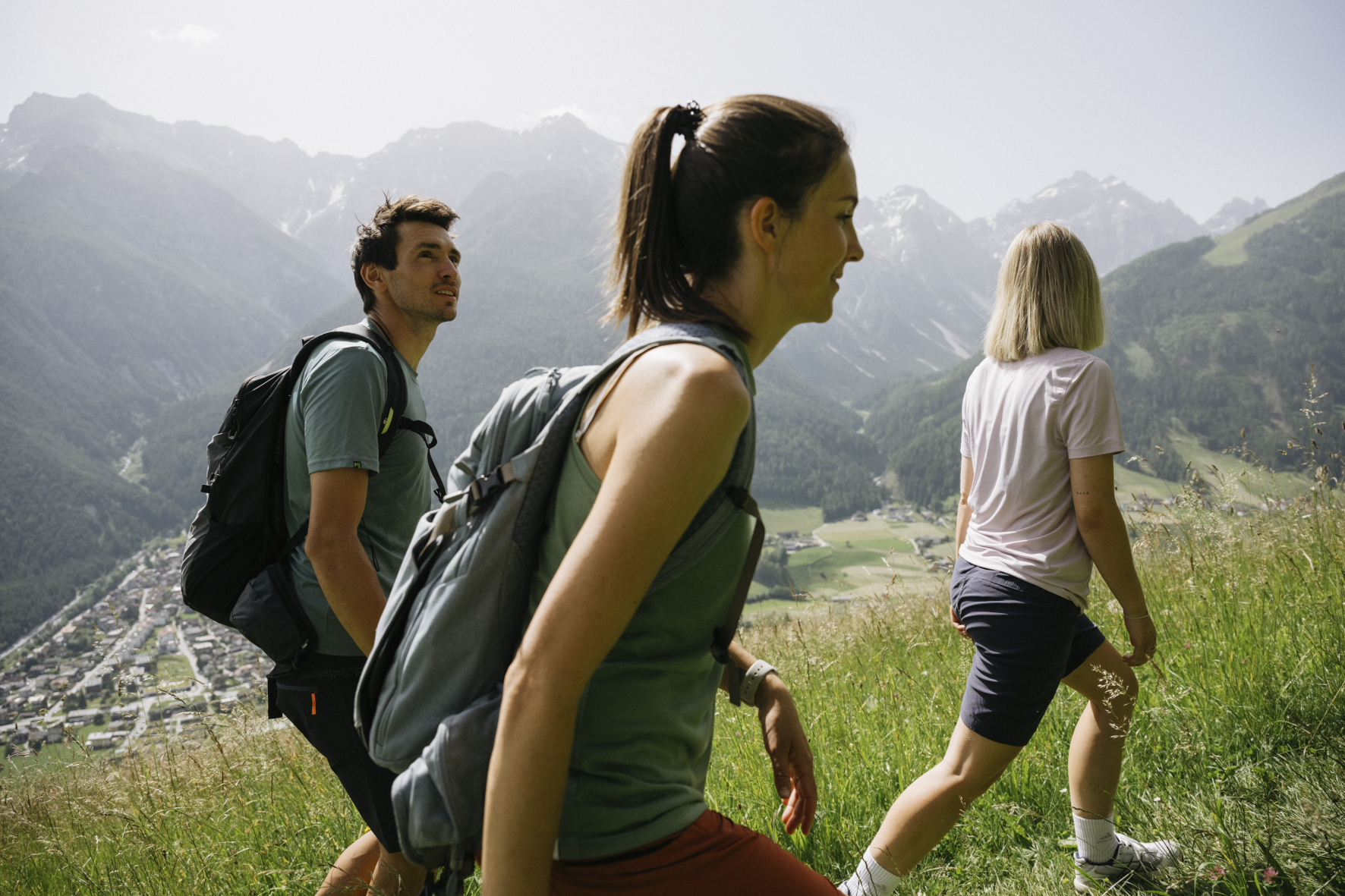
Hiking route · Stubaital
Kapellenweg Mieders
Starting point: Mieders, Village Church
5.4
km
721
Hm ↑
3 h
Walking time
- Dogs allowed
The Kapellenweg Mieders is a cultural historical hiking trail through the immediate surroundings of the village. It connects the historical chapels, way crosses and monuments, which have been shaping the landscape of Mieders for centuries – small witnesses of Tyrolean piety and building culture.
Why the Kapellenweg?
Chapels are omnipresent in Tyrol – but rarely so concentrated and consciously integrated as on this trail. Each station tells a story: foundations by peasant families, votive chapels after accidents, monuments at old cattle driving routes. Anyone who wants to understand the history of the Stubaital valley should start here.
And besides: The viewpoints on the trail show Mieders and the lower Stubaital valley from their best side.
Trail Description
Start Village Church Mieders (approx. 870 m): The church itself is the first station. From here on well signposted paths out of the village.
First Chapels (km 1–2): Already shortly after the village, the first small chapels appear on the side of the path. Information boards provide information about origin and history.
Hanging Passage with View (approx. 1,100–1,500 m): The trail leads to the hanging side over Mieders. From here extensive views into the valley.
Upper Chapels and Way Crosses (approx. 1,400 m): The highest located stations of the trail.
Descent back to Mieders: Over forest paths and meadow edges back into the village.
Requirements
- Moderate condition for 721 m altitude gain on 5.4 km
- Normal hiking boots
- Dogs allowed
- No technical terrain
Tips
- Cultural interest: Who informs himself beforehand about the history of the chapels, experiences the trail more deeply
- Best Time: Throughout the year – in summer green, in autumn colorfully
- Duration: With pauses and photo stops plan 3.5–4 hours
- Information Material: The Tourism Association Stubai Valley has brochures about the Kapellenweg
The Kapellenweg Mieders is a trail for inquisitive people – who want to experience Tyrol not only as a mountain backdrop, but as a lived cultural landscape, is right here.
Route map
Frequently asked questions about Kapellenweg Mieders
- How difficult is Kapellenweg Mieders?
- Kapellenweg Mieders is rated "Moderate". The route has 721 metres of elevation gain.
- How long is Kapellenweg Mieders?
- 5.4 km. Hiking time: approx. 3 hours.
- Are dogs allowed on Kapellenweg Mieders?
- Yes, this trail is dog-friendly.
Questions about this route?
The AI Guide knows all details about this trail