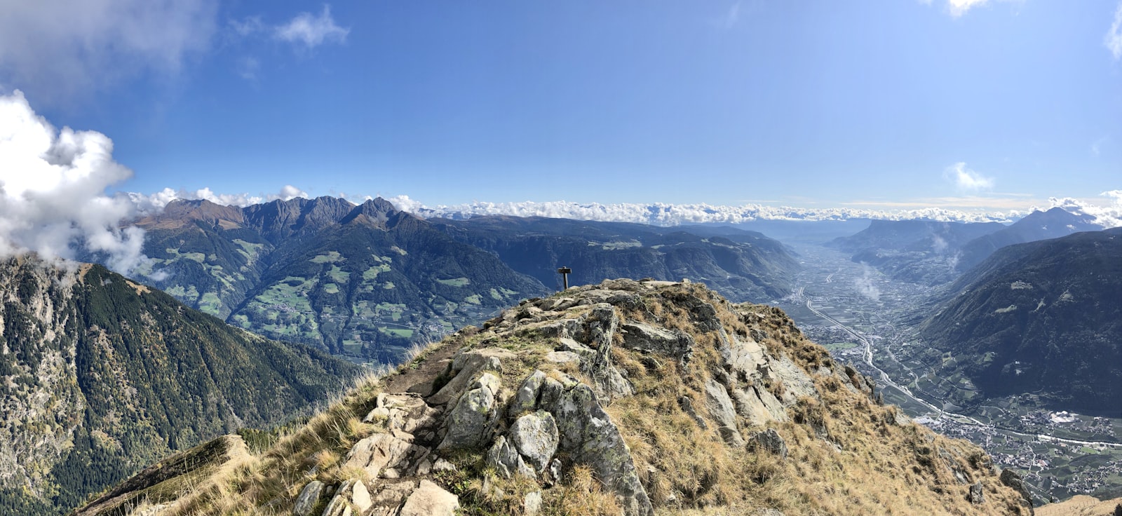
Hiking route · Stubaital
Stubaier High Route
Starting point: Starkenburger Hütte or Innsbrucker Hütte
80
km
6000
Hm ↑
32 h
Walking time
The Stubaier High Route is one of the most beautiful multi-day mountain hut hikes in the Eastern Alps. Over 7 stages, it connects the most important mountain huts of the Stubai Valley – from the Starkenburger Hütte to the Innsbrucker Hütte – leading through wildly romantic high-alpine landscape at 2,000–3,000 m elevation.
Why the Stubaier High Route?
Those who really want to get to know the Stubai Valley leave the valley floor. The high route shows the high mountains from a perspective that day visitors rarely get to see: glacier panoramas, lonely cirques, crags and névé fields – and in the evening, the coziness of the hut together with other mountaineers.
Each stage ends at a staffed hut. That makes the route logistically manageable – no tent, no heavy gear, just a daypack.
The 7 stages at a glance
Stage 1: Starkenburger Hütte – Franz-Senn-Hütte (15 km, approx. 7 hrs, 690 m elevation gain) Stage 2: Franz-Senn-Hütte – New Regensburger Hütte (9 km, approx. 4 hrs, 603 m elevation gain) Stage 3: New Regensburger Hütte – Dresdner Hütte (13 km, approx. 7 hrs, 1,033 m elevation gain) Stage 4: Dresdner Hütte – Sulzenau Hütte (5 km, approx. 3 hrs, 419 m elevation gain) Stage 5: Sulzenau Hütte – Nürnberger Hütte (4.4 km, approx. 4 hrs, 461 m elevation gain) Stage 6: Nürnberger Hütte – Bremer Hütte (6 km, approx. 4 hrs, 642 m elevation gain) Stage 7: Bremer Hütte – Innsbrucker Hütte (9.5 km, approx. 7 hrs, 839 m elevation gain)
The ascent to the Starkenburger Hütte (start of the route) is done separately from Neustift. The Becherhaus and Müllerhütte are independent, more demanding destinations in the glacier area and are not part of the official main route of the Stubaier High Route.
Requirements
- Multi-day high-alpine experience necessary
- Sure-footedness and a head for heights on secured trails
- Glacier equipment (crampons, ice axe) for certain stages – consult a route guide
- Hut reservations strongly recommended, especially in July/August
- No dogs allowed (wildlife protection zone, hut conditions)
Tips
- Reservations: Hut beds fill up quickly in summer – book at least 4–6 weeks in advance
- Best time: July to mid-September (all passes free of snow)
- Luggage: Shuttle service available from some valleys to transport main luggage
- Variant: The route can also be shortened or started at various points along the way
The Stubaier High Route is no day trip – it’s a genuine mountain adventure. Those who have walked it understand why the Stubai Valley is counted among Austria’s most beautiful alpine valleys.
Route map
Frequently asked questions about Stubaier High Route
- How difficult is Stubaier High Route?
- Stubaier High Route is rated "Difficult". The route has 6000 metres of elevation gain.
- How long is Stubaier High Route?
- 80 km. Hiking time: approx. 32 hours.
- Are dogs allowed on Stubaier High Route?
- Dogs are not allowed or not recommended on this trail.
Questions about this route?
The AI Guide knows all details about this trail