Hiking route · Stubaital
Rinnenspitze – Seven Summits Stubai
Starting point: Oberissalm parking lot in the Oberbergtal (from Neustift-Milders)
11.3
km
1560
Hm ↑
10 h
Walking time
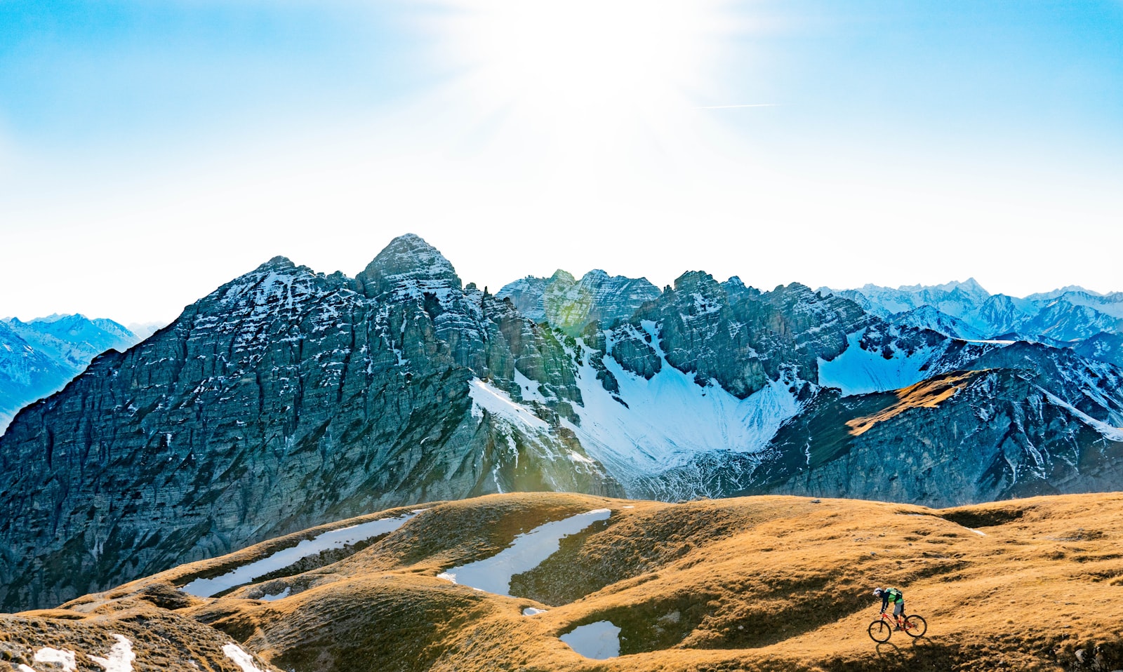
The Rinnenspitze (3,003 m) is one of the seven peaks of the Seven Summits Stubai program. From the Oberissalm parking lot (1,742 m) in the Oberbergtal, it’s around 1,560 meters of elevation gain to the summit. The Rinnenspitze is no stroll.
Why the Rinnenspitze?
What makes this peak special: the path leads through the Oberbergtal, past the Franz-Senn-Hütte, over steep grassy gullies, and finally along an exposed ridge to the summit.
At the top: views over the entire Oberbergtal, the surrounding three-thousanders and – in good visibility – far into the Central Alps.
Route Description
Oberissalm parking lot (1,742 m): Starting point in the Oberbergtal. Well signposted towards the Franz-Senn-Hütte.
Franz-Senn-Hütte (2,147 m): Popular stopover, staffed. From here the actual ascent into the high mountains begins.
High mountain terrain (approx. 2,200–2,700 m): Wide cirque and rocky terrain, the path becomes steeper and rockier. Follow the markings carefully.
Summit ridge (from approx. 2,700 m): The final section is exposed. Sure-footedness and a head for heights are no exaggeration here.
Rinnenspitze (3,003 m): Summit cross, panorama, break.
Requirements
- Sure-footedness and a head for heights required
- Very good fitness (1,560 m of elevation gain)
- Sturdy mountain boots with good tread
- No dogs – ridge too demanding
- Keep an eye on the weather: afternoon thunderstorms possible
Tips
- Early start: Set off early from the Oberissalm parking lot – it’s a long day
- Franz-Senn-Hütte: Recommended stop on the way back – homemade cuisine
- Best time: June to October
The Rinnenspitze combines Oberbergtal scenery with a genuine alpine summit experience – a demanding destination in the Seven Summits program.
Route map
Frequently asked questions about Rinnenspitze – Seven Summits Stubai
- How difficult is Rinnenspitze – Seven Summits Stubai?
- Rinnenspitze – Seven Summits Stubai is rated "Difficult". The route has 1560 metres of elevation gain.
- How long is Rinnenspitze – Seven Summits Stubai?
- 11.3 km. Hiking time: approx. 10 hours.
- Are dogs allowed on Rinnenspitze – Seven Summits Stubai?
- Dogs are not allowed or not recommended on this trail.
Questions about this route?
The AI Guide knows all details about this trail